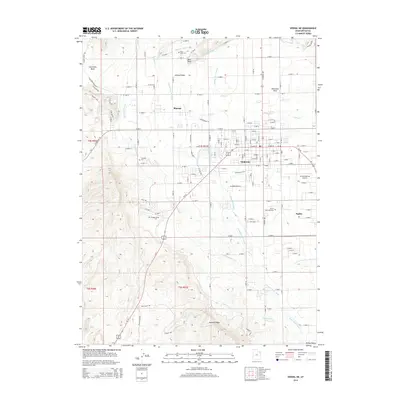
2014 Map of Vernal NE
USGS Topo · Published 2014About this map
Ashley Valley serves as the focal point of this 2014 survey, where the expanding residential and commercial footprints of Vernal, Maeser, and Naples meet. The landscape is defined by an intricate network of irrigation systems, including the Steinaker Service Canal, Ashley Central Canal, and the Highline Canal, which have long supported the region's agricultural development. These canals contrast with the dry, elevated terrain of Asphalt Ridge and Shindy Ridge to the west.
Find a feature on this map
97 named features on this map. Tap any name to fly to it.
Don’t see what you’re looking for? This feature index may not catch every label — zoom into the map to look around manually.
Map Details
Editions of this 2014 Vernal NE Map
This is the sole edition of this map. No revisions or reprints were ever made.
Other maps of this area

1885 · Ashley
USGS Topo · 1:250,000

1906 · Marsh Peak
USGS Topo · 1:125,000

1907 · Jensen
USGS Topo · 1:125,000

1908 · Marsh Peak
USGS Topo · 1:125,000

1910 · Jensen
USGS Topo · 1:125,000

1917 · Vernal
USGS Topo · 1:125,000

1954 · Vernal
USGS Topo · 1:250,000

1958 · Vernal
USGS Topo · 1:250,000

1960 · Vernal
USGS Topo · 1:250,000

1964 · Vernal NE
USGS Topo · 1:24,000