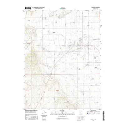
2017 Map of Vernal NE
USGS Topo · Published 2017About this map
Ashley Valley serves as the focal point for this 2017 survey of northeastern Utah, where the city of Vernal and the neighboring community of Maeser sit amidst an intricate network of irrigation infrastructure. The landscape is defined by the vital movement of water through the Ashley Central Canal, the Steinaker Feeder Canal, and the Highline Canal, supporting the agricultural life of the basin. To the south and west, the terrain rises sharply toward Asphalt Ridge and the Coal Mine Basin, providing a stark contrast to the developed corridors of Naples and the industrial activity near the Vernal Regional Airport. This map offers detailed placement of local landmarks for researchers, including the Rock Point Cem and Fairview Cem, alongside specialized features like the Air Village Strip. The intersection of natural draws, such as Steinaker Draw, and human-engineered waterways illustrates the long-standing efforts to manage the arid environment of Uintah County.
Find a feature on this map
36 named features on this map. Tap any name to fly to it.
Don’t see what you’re looking for? This feature index may not catch every label — zoom into the map to look around manually.
Map Details
Editions of this 2017 Vernal NE Map
This is the sole edition of this map. No revisions or reprints were ever made.
Other maps of this area

1885 · Ashley
USGS Topo · 1:250,000

1906 · Marsh Peak
USGS Topo · 1:125,000

1907 · Jensen
USGS Topo · 1:125,000

1908 · Marsh Peak
USGS Topo · 1:125,000

1910 · Jensen
USGS Topo · 1:125,000

1917 · Vernal
USGS Topo · 1:125,000

1954 · Vernal
USGS Topo · 1:250,000

1958 · Vernal
USGS Topo · 1:250,000

1960 · Vernal
USGS Topo · 1:250,000

1964 · Vernal NE
USGS Topo · 1:24,000