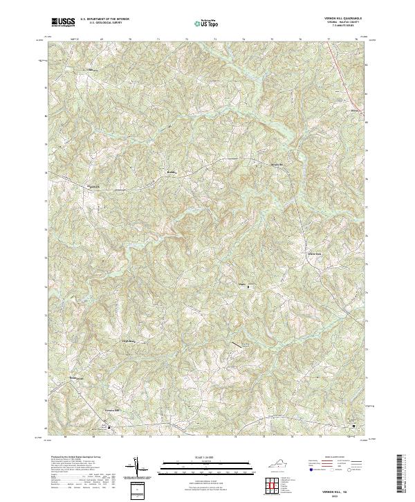
2022 Map of Vernon Hill
USGS Topo · Published 2022About this map
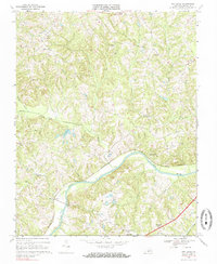
Vernon Hill serves as a central landmark in this portion of Halifax County, where the landscape is defined by the winding course of the Banister River and its numerous tributaries. The map documents a network of rural settlements, including Meadville, Rodden, and Plato, connected by historic routes such as Chatham Rd and State Rte 702. This modern survey provides a detailed look at the local geography, from the heights of High Rock to the small airfield at Fox Fire Airport. For those researching family history in this part of Virginia, the placement of the Mount Vernon Baptist Church Cem, New Bethel Baptist Church Cem, and Asbury Cem offers precise locations for ancestral sites. The distribution of family-named roads like Ed Mason Ln and Paul Pry Trl reflects the long-standing community ties inherent to this rural area.
Find a feature on this map
73 named features on this map. Tap any name to fly to it.
Don’t see what you’re looking for? This feature index may not catch every label — zoom into the map to look around manually.
Map Details
Editions of this 2022 Vernon Hill Map
This is the sole edition of this map. No revisions or reprints were ever made.
Historical Maps of Thompsons Through Time
15 maps found

1954 Riceville
Halifax County, VA
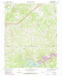
1968 Alton
Halifax County, VA
1968 Buffalo Springs
Halifax County, VA
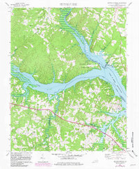
1968 Conner Lake
Halifax County, VA
1968 Oak Level
Halifax County, VA
1968 Omega
Halifax County, VA
1968 Republican Grove
Halifax County, VA
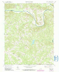
1968 Vernon Hill
Halifax County, VA

2022 Alton
Halifax County, VA
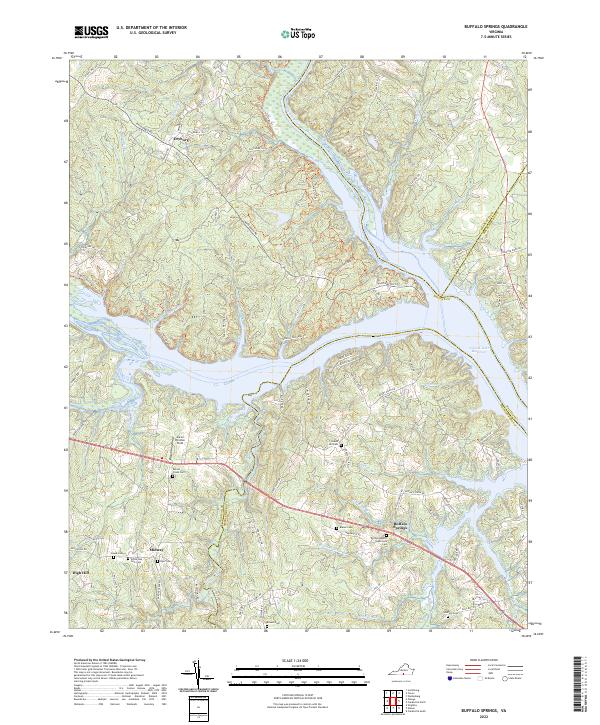
2022 Buffalo Springs
Halifax County, VA
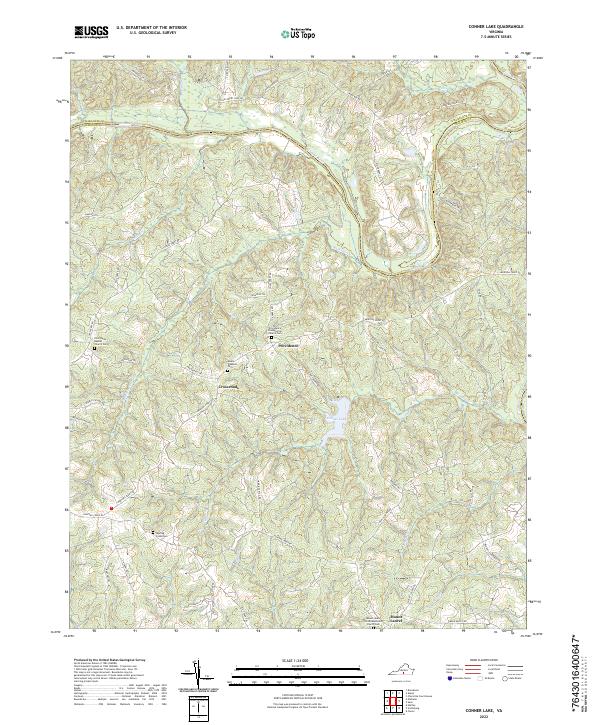
2022 Conner Lake
Halifax County, VA
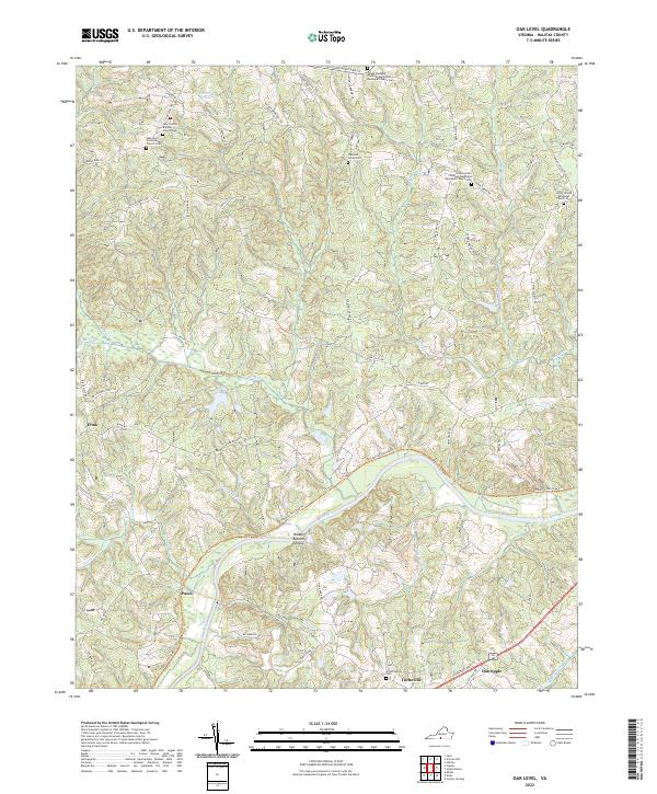
2022 Oak Level
Halifax County, VA
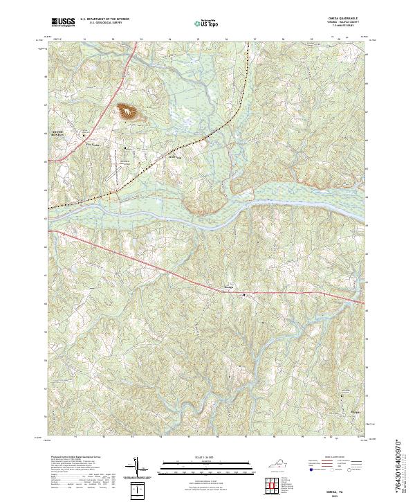
2022 Omega
Halifax County, VA
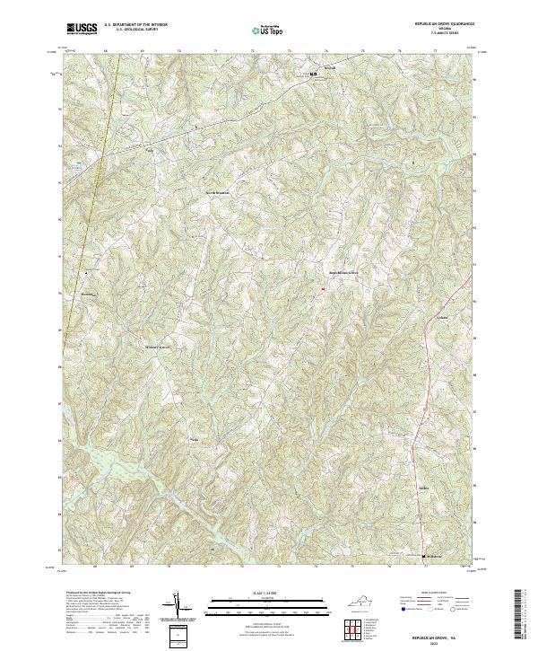
2022 Republican Grove
Halifax County, VA
2022 Vernon Hill
Halifax County, VA