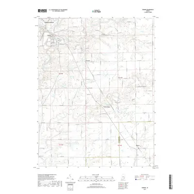
2019 Map of Vernon
USGS Topo · Published 2019About this map
Vernon Fork Muscatatuck River winds through the northern portion of this Jennings County region, defining the landscape around North Vernon and Vernon. This 2019 survey documents a largely rural area characterized by numerous small drainages such as Otter Creek, Graham Creek, and Bear Creek. The map shows a clear transition from the more developed street grids of the northern settlements to the dispersed homesteads and agricultural tracts to the south.
Find a feature on this map
70 named features on this map. Tap any name to fly to it.
Don’t see what you’re looking for? This feature index may not catch every label — zoom into the map to look around manually.
Map Details
Editions of this 2019 Vernon Map
This is the sole edition of this map. No revisions or reprints were ever made.
Other maps of this area

1942 · Columbus
USGS Topo · 1:125,000

1953 · Cincinnati
USGS Topo · 1:250,000

1956 · Volga
USGS Topo · 1:24,000

1956 · Deputy
USGS Topo · 1:24,000

1956 · Clifty Falls
USGS Topo · 1:24,000

1956 · Louisville
USGS Topo · 1:250,000

1957 · Cincinnati
USGS Topo · 1:250,000

1957 · Butlerville
USGS Topo · 1:24,000

1957 · North Vernon
USGS Topo · 1:24,000

1959 · Holton
USGS Topo · 1:24,000