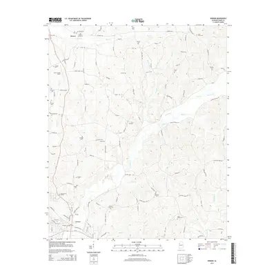
2014 Map of Vernon
USGS Topo · Published 2014About this map
Vernon serves as the focal point of this Lamar County survey, where the convergence of Al-17 and Al-18 anchors the local transportation network. To the north, the settlement of Moscow sits near the headwaters of Bogue Cr, surrounded by a high density of family and community burial grounds including Mulberry Springs Cem and Hill Cem. The landscape is defined by a dense network of creek valleys and ridges, notably Round Mountain, which overlooks the southern reaches of Watson Cr.
Find a feature on this map
61 named features on this map. Tap any name to fly to it.
Don’t see what you’re looking for? This feature index may not catch every label — zoom into the map to look around manually.
Map Details
Editions of this 2014 Vernon Map
This is the sole edition of this map. No revisions or reprints were ever made.
Other maps of this area

1953 · Birmingham
USGS Topo · 1:250,000

1953 · West Point
USGS Topo · 1:250,000

1956 · Birmingham
USGS Topo · 1:250,000

1957 · Birmingham
USGS Topo · 1:250,000

1958 · West Point
USGS Topo · 1:250,000

1963 · West Point
USGS Topo · 1:250,000

1967 · Sulligent
USGS Topo · 1:24,000

1967 · Beaverton
USGS Topo · 1:24,000

1967 · Hightogy
USGS Topo · 1:24,000

1967 · Bluff
USGS Topo · 1:24,000