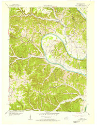
1954 Map of Vernon
USGS Topo · Published 1955About this map
The Cumberland River dominates this mid-century landscape as it winds through Monroe County, carving dramatic features like Salt Lick Bend and Turkey Neck Bend. This area of southern Kentucky, just north of the Tennessee state line, is characterized by a high concentration of rural educational and religious centers. Settlements such as Vernon, Meshack, and Otia serve as anchors for a community connected by water and ridge roads. Evidence of the river's central role in local transit is found at McMillans Ferry, which provided a vital crossing before modern bridge networks were fully established. Along the ridges and hollows, numerous small institutions like New Walnut Grove Sch, Antioch Ch, and Hestand Sch reveal the localized nature of mid-century social life. The terrain is notably marked by geological curiosities like the Natural Tunnel near Cloyd Ridge.
Find a feature on this map
63 named features on this map. Tap any name to fly to it.
Don’t see what you’re looking for? This feature index may not catch every label — zoom into the map to look around manually.
Map Details
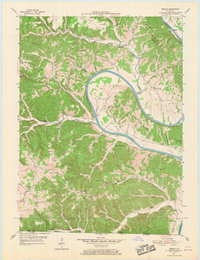
Editions of this 1954 Vernon Map
2 editions found
Other maps of this area

1924 · Lillydale
USGS Topo · 1:62,500

1926 · Lillydale
USGS Topo · 1:62,500

1929 · Lillydale
USGS Topo · 1:62,500

1929 · Tompkinsville
USGS Topo · 1:62,500

1953 · Sulphur Lick
USGS Topo · 1:24,000

1953 · Waterview
USGS Topo · 1:24,000

1953 · Dubre
USGS Topo · 1:24,000

1954 · Blacks Ferry
USGS Topo · 1:24,000

1954 · Tompkinsville
USGS Topo · 1:24,000

1956 · Corbin
USGS Topo · 1:250,000