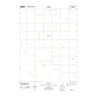
2010 Map of Vernon NW
USGS Topo · Published 2010About this map
The North Fork Republican River skirts the northern edge of this agricultural landscape in northeastern Colorado, providing the primary water source for a region defined by its rigid section-line grid. By the early 21st century, the terrain is partitioned by a comprehensive network of rural routes, including County Rd-21 and County Rd-29, which facilitate movement between scattered farmsteads and agricultural operations. Two private airstrips, the Lundvall Brothers Landing Field and the Stultz Landing Field, underscore the significance of aerial access in this expansive High Plains environment. The map details a landscape where traditional land management meets modern navigation, showing how the grid of county roads like County Rd X and County Rd U continues to organize life and labor in Yuma County.
Find a feature on this map
19 named features on this map. Tap any name to fly to it.
Don’t see what you’re looking for? This feature index may not catch every label — zoom into the map to look around manually.
Map Details
Editions of this 2010 Vernon NW Map
This is the sole edition of this map. No revisions or reprints were ever made.
Other maps of this area

1954 · Limon
USGS Topo · 1:250,000

1954 · Sterling
USGS Topo · 1:250,000

1957 · Limon
USGS Topo · 1:250,000

1958 · Limon
USGS Topo · 1:250,000

1958 · Sterling
USGS Topo · 1:250,000

1961 · Eckley
USGS Topo · 1:24,000

1961 · Robb
USGS Topo · 1:24,000

1963 · Vernon
USGS Topo · 1:24,000

1963 · Wildcat Canyon
USGS Topo · 1:24,000

1968 · Abarr SE
USGS Topo · 1:24,000