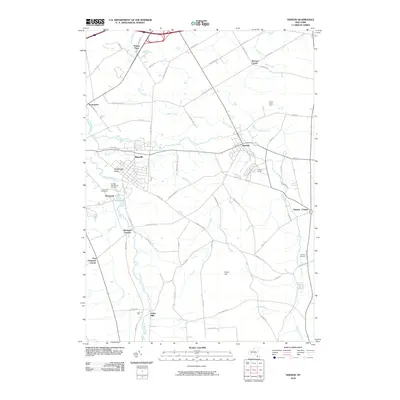
2010 Map of Vernon
USGS Topo · Published 2010About this map
Oneida Creek and Sconondoa Creek carve through this landscape of the Mohawk Valley region, anchoring a network of historic settlements and farmsteads. The area is defined by its diverse local history, ranging from the religious and social legacy of the Oneida Community Cemetery near Kenwood to the equestrian traditions at Vernon Downs. A distinct rural character persists across the terrain, with family-named landmarks like Five Chimneys Corner, Bennetts Corners, and Brewers Corner marking the intersections of old country roads.
Find a feature on this map
69 named features on this map. Tap any name to fly to it.
Don’t see what you’re looking for? This feature index may not catch every label — zoom into the map to look around manually.
Map Details
Editions of this 2010 Vernon Map
This is the sole edition of this map. No revisions or reprints were ever made.
Other maps of this area

1895 · Oriskany
USGS Topo · 1:62,500

1895 · Oneida
USGS Topo · 1:62,500

1898 · Oneida
USGS Topo · 1:62,500

1898 · Oriskany
USGS Topo · 1:62,500

1902 · Morrisville
USGS Topo · 1:62,500

1902 · Oneida
USGS Topo · 1:62,500

1907 · Sangerfield
USGS Topo · 1:62,500

1939 · Oneida
USGS Topo · 1:62,500

1943 · Morrisville
USGS Topo · 1:24,000

1943 · Sangerfield
USGS Topo · 1:62,500