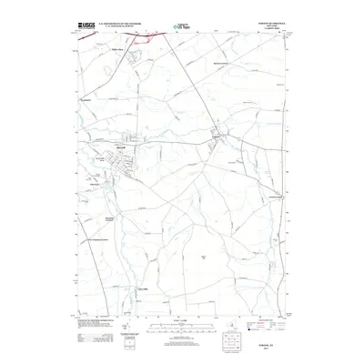
2013 Map of Vernon
USGS Topo · Published 2013About this map
Vernon and Sherrill anchor this central New York landscape, where the agricultural traditions of Oneida and Madison counties intersect with early industrial and community history. The map traces the winding course of Sconondoa Cr and Taylor Cr, which historically powered local mills and shaped the settlement patterns of villages like Kenwood and Valley Mills. Significant for genealogists, the map identifies several local burial sites including the Oneida Community Cem and Stockbridge Cem, alongside family-named landmarks like Bennetts Corners and Five Chimneys Corner. To the south, the terrain rises toward Eaton Hill, overlooking a network of country roads that connect long-standing rural holdings such as Sweet Grass Farm and Windex Farms. The layout of streets in Sherrill, including E Noyes Blvd and W Hamilton Ave, reveals the 21st-century residential character of the state's smallest city.
Find a feature on this map
112 named features on this map. Tap any name to fly to it.
Don’t see what you’re looking for? This feature index may not catch every label — zoom into the map to look around manually.
Map Details
Editions of this 2013 Vernon Map
This is the sole edition of this map. No revisions or reprints were ever made.
Other maps of this area

1895 · Oriskany
USGS Topo · 1:62,500

1895 · Oneida
USGS Topo · 1:62,500

1898 · Oneida
USGS Topo · 1:62,500

1898 · Oriskany
USGS Topo · 1:62,500

1902 · Morrisville
USGS Topo · 1:62,500

1902 · Oneida
USGS Topo · 1:62,500

1907 · Sangerfield
USGS Topo · 1:62,500

1939 · Oneida
USGS Topo · 1:62,500

1943 · Morrisville
USGS Topo · 1:24,000

1943 · Sangerfield
USGS Topo · 1:62,500