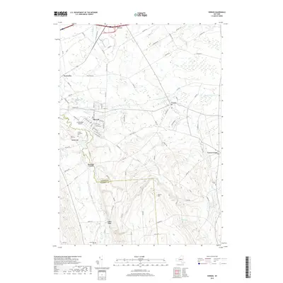
2019 Map of Vernon
USGS Topo · Published 2019About this map
Stockbridge Valley anchors the western edge of this 2019 survey, where the administrative lines of Oneida Co and Madison Co intersect. The city of Sherrill and the village of Kenwood sit prominently along Oneida Creek, a landscape marked by its religious and social history as evidenced by the Oneida Community Cem and Valley View Cem. Further east, the village of Vernon serves as a central hub, connected to outlying hamlets like Vernon Center and Sconondoa by a network of rural roads such as Townline Rd and Sconondoa St.
Find a feature on this map
98 named features on this map. Tap any name to fly to it.
Don’t see what you’re looking for? This feature index may not catch every label — zoom into the map to look around manually.
Map Details
Editions of this 2019 Vernon Map
This is the sole edition of this map. No revisions or reprints were ever made.
Other maps of this area

1895 · Oriskany
USGS Topo · 1:62,500

1895 · Oneida
USGS Topo · 1:62,500

1898 · Oneida
USGS Topo · 1:62,500

1898 · Oriskany
USGS Topo · 1:62,500

1902 · Morrisville
USGS Topo · 1:62,500

1902 · Oneida
USGS Topo · 1:62,500

1907 · Sangerfield
USGS Topo · 1:62,500

1939 · Oneida
USGS Topo · 1:62,500

1943 · Morrisville
USGS Topo · 1:24,000

1943 · Sangerfield
USGS Topo · 1:62,500