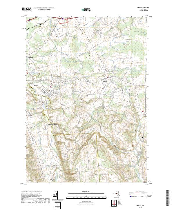
2023 Map of Vernon
USGS Topo · Published 2023About this map
Oneida Creek serves as a defining geographic boundary on this map, separating Oneida and Madison counties while winding through a series of established central New York settlements. The area shows a transition from the denser residential grids of Sherrill and Vernon to the rural hamlets of Bennetts Corners and Valley Mills. Near Kenwood, the presence of the Oneida Community Cem provides a direct link to the region's communal history and its nineteenth-century social movements. The landscape is characterized by its hydrological network, including Sconondoa Creek and Stony Creek, which define the drainage patterns around local heights like Eaton Hill. Local family-named sites such as the Skinner Cem and the small-scale infrastructure of Stockbridge Valley reflect the enduring agricultural and community identity of the Vernon quadrangle.
Find a feature on this map
99 named features on this map. Tap any name to fly to it.
Don’t see what you’re looking for? This feature index may not catch every label — zoom into the map to look around manually.
Map Details
Editions of this 2023 Vernon Map
This is the sole edition of this map. No revisions or reprints were ever made.
Other maps of this area

1895 · Oriskany
USGS Topo · 1:62,500

1895 · Oneida
USGS Topo · 1:62,500

1898 · Oneida
USGS Topo · 1:62,500

1898 · Oriskany
USGS Topo · 1:62,500

1902 · Morrisville
USGS Topo · 1:62,500

1902 · Oneida
USGS Topo · 1:62,500

1907 · Sangerfield
USGS Topo · 1:62,500

1939 · Oneida
USGS Topo · 1:62,500

1943 · Morrisville
USGS Topo · 1:24,000

1943 · Sangerfield
USGS Topo · 1:62,500