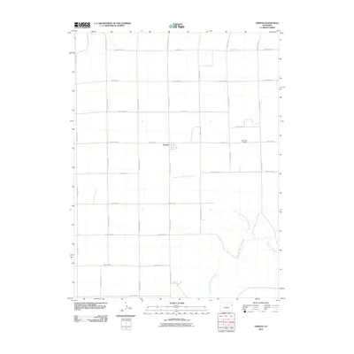
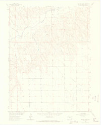
2010 Map of Vernon
USGS Topo · Published 2010About this map
Vernon serves as the central hub of this eastern Colorado landscape, where a rigid grid of section-line roads meets the winding drainage of the High Plains. The settlement is surrounded by an extensive network of rural thoroughfares, including County Road CC and County Rd-26, which facilitate movement across the agricultural terrain. To the east of the town site, Glendale Cemetery provides a primary point of interest for genealogists and local historians, situated just north of the confluence where North Fork Black Wolf Creek and South Fork Black Wolf Creek join to form Black Wolf Creek. The map illustrates the 2010 intersection of modern county planning and the natural riparian corridors that have historically dictated the placement of homesteads and local infrastructure in Yuma County.
Find a feature on this map
23 named features on this map. Tap any name to fly to it.
Don’t see what you’re looking for? This feature index may not catch every label — zoom into the map to look around manually.
Map Details
Editions of this 2010 Vernon Map
This is the sole edition of this map. No revisions or reprints were ever made.
Other maps of this area
1954 · Limon
USGS Topo · 1:250,000

1954 · Sterling
USGS Topo · 1:250,000
1957 · Limon
USGS Topo · 1:250,000
1958 · Limon
USGS Topo · 1:250,000

1958 · Sterling
USGS Topo · 1:250,000
1961 · Eckley
USGS Topo · 1:24,000
1961 · Robb
USGS Topo · 1:24,000
1961 · Wray
USGS Topo · 1:24,000
1963 · Vernon
USGS Topo · 1:24,000
1963 · Beecher Island
USGS Topo · 1:24,000