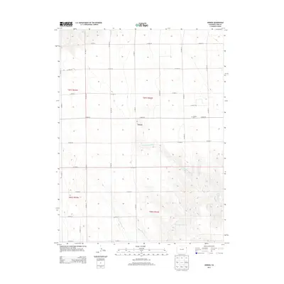
2013 Map of Vernon
USGS Topo · Published 2013About this map
Vernon serves as the central hub of this Eastern Colorado landscape, situated at the intersection of a rigid grid of county roads that define the region's agricultural character. This 2013 survey illustrates the organized Township and Range system, including t001s r044w and t002s r044w, which governs the placement of farms and transit routes like Co Road 26. The geometric regularity of the roads is only broken by the wandering paths of the N Fork Black Wolf Cr and S Fork Black Wolf Cr, which converge into the main Black Wolf Cr in the southeast. Genealogists may find interest in the Glendale Cem, located east of the main settlement along Co Road 26. The map captures a contemporary look at Yuma County’s rural infrastructure, where the legacy of early homesteading remains etched in the precisely partitioned sections and remote cemetery sites.
Find a feature on this map
27 named features on this map. Tap any name to fly to it.
Don’t see what you’re looking for? This feature index may not catch every label — zoom into the map to look around manually.
Map Details
Editions of this 2013 Vernon Map
This is the sole edition of this map. No revisions or reprints were ever made.
Other maps of this area

1954 · Limon
USGS Topo · 1:250,000

1954 · Sterling
USGS Topo · 1:250,000

1957 · Limon
USGS Topo · 1:250,000

1958 · Limon
USGS Topo · 1:250,000

1958 · Sterling
USGS Topo · 1:250,000

1961 · Eckley
USGS Topo · 1:24,000

1961 · Robb
USGS Topo · 1:24,000

1961 · Wray
USGS Topo · 1:24,000

1963 · Vernon
USGS Topo · 1:24,000

1963 · Beecher Island
USGS Topo · 1:24,000