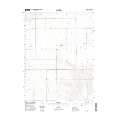
2016 Map of Vernon
USGS Topo · Published 2016About this map
Vernon serves as the central hub for this high plains landscape in eastern Colorado, where the geometry of a section-line road network meets the natural drainage of the Republican River basin. The terrain is defined by the convergence of the N Fork Black Wolf Cr and S Fork Black Wolf Cr, which join to form Black Wolf Cr in the southeastern portion of the map. This 2016 survey illustrates the persistent agricultural layout of Yuma County, with a rigid grid of county roads—such as Co RD 26 and Co RD Ee—providing access to the scattered homesteads and fields. Just northeast of the main settlement lies the Glendale Cem, a significant site for local family history and genealogical research in this rural community.
Find a feature on this map
26 named features on this map. Tap any name to fly to it.
Don’t see what you’re looking for? This feature index may not catch every label — zoom into the map to look around manually.
Map Details
Editions of this 2016 Vernon Map
This is the sole edition of this map. No revisions or reprints were ever made.
Other maps of this area

1954 · Limon
USGS Topo · 1:250,000

1954 · Sterling
USGS Topo · 1:250,000

1957 · Limon
USGS Topo · 1:250,000

1958 · Limon
USGS Topo · 1:250,000

1958 · Sterling
USGS Topo · 1:250,000

1961 · Eckley
USGS Topo · 1:24,000

1961 · Robb
USGS Topo · 1:24,000

1961 · Wray
USGS Topo · 1:24,000

1963 · Vernon
USGS Topo · 1:24,000

1963 · Beecher Island
USGS Topo · 1:24,000