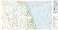
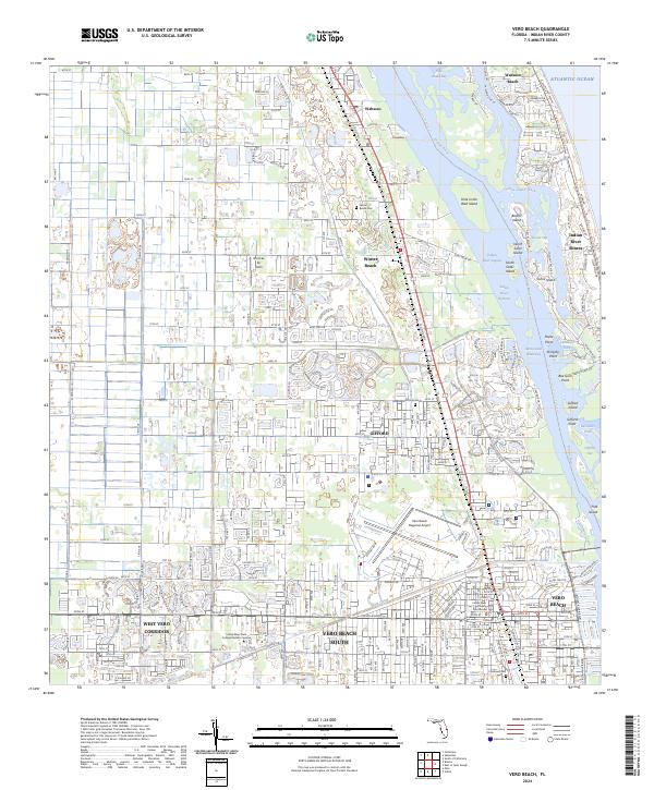
1949 Map of Vero Beach
USGS Topo · Published 1960About this map
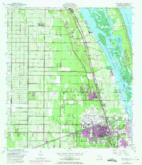
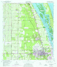
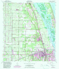
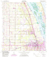
Vero Beach and its surrounding citrus and coastal landscape are documented here just after the war, showing a region defined by the Florida East Coast railway and the intricate waterways of the Indian River Narrows. The map illustrates the transition from the dense street grids of the city to the systematic agricultural drainage network of the North Canal and Main Canal. Along the shore, numerous islands like Pine Island and Johns Island sit between the mainland and the Atlantic Ocean, separated by the Intracoastal Waterway. This survey captures the mid-century infrastructure of the area, including the Vero Beach Municipal Airport and the Indian River Hospital. Smaller settlements such as Wabasso, Winter Beach, and Gifford follow the rail corridor, while family-named coastal points like Copelands Landing and McCullers Cove highlight the local maritime history of the Indian River lagoon.
Find a feature on this map
38 named features on this map. Tap any name to fly to it.
Don’t see what you’re looking for? This feature index may not catch every label — zoom into the map to look around manually.
Map Details
Editions of this 1949 Vero Beach Map
6 editions found
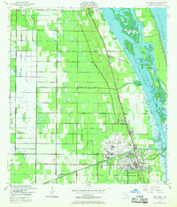
Historical Maps of Sebastian Through Time
5 maps found