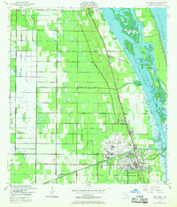
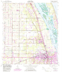
1949 Map of Vero Beach
USGS Topo · Published 1969About this map
The Florida East Coast railroad line anchors the development of the Indian River coastline, connecting the citrus-growing and transit hubs of Wabasso, Winter Beach, Gifford, and Vero Beach. This 1949 survey illustrates a landscape transitioning from extensive citrus groves and agricultural tracts into a structured regional center. The interior is defined by a grid of citrus infrastructure, including North Gifford Road and North Winter Beach Road, while the coastline reveals the complex geography of the Indian River Narrows. Large-scale coastal features like Johns Island, Pine Island, and Barker Island sit adjacent to the emerging Intracoastal Waterway. To the south, the expansion of the Vero Beach Municipal Airport and the establishment of the Royal Park Golf Course signal the post-war growth of the city as it began to modernize and expand toward the Atlantic Ocean.
Find a feature on this map
39 named features on this map. Tap any name to fly to it.
Don’t see what you’re looking for? This feature index may not catch every label — zoom into the map to look around manually.
Map Details
Editions of this 1949 Vero Beach Map
6 editions found
Other maps of this area

1948 · Riomar
USGS Topo · 1:24,000

1948 · Indrio
USGS Topo · 1:24,000

1949 · Fellsmere
USGS Topo · 1:24,000

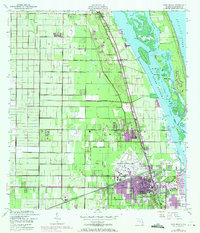
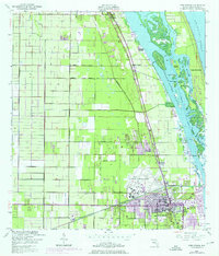
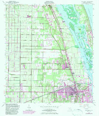
1949 · Vero Beach
USGS Topo · 1:24,000

1949 · Sebastian
USGS Topo · 1:24,000

1949 · Oslo
USGS Topo · 1:24,000

1950 · Riomar
USGS Topo · 1:24,000

1950 · Oslo
USGS Topo · 1:24,000

1950 · Indrio
USGS Topo · 1:24,000

1950 · Vero Beach
USGS Topo · 1:24,000