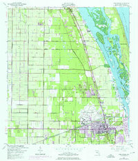
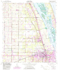
1949 Map of Vero Beach
USGS Topo · Published 1976About this map
Vero Beach and the surrounding coastline of the Indian River Narrows are captured here in a period of transition, showing both the established agricultural grid and post-war urban growth. The inland landscape is dominated by a systematic drainage network including the North Canal and Main Canal, alongside specialized land uses like the fish hatchery and various citrus-related roads. The Florida East Coast railway serves as a central spine for the small settlements of Wabasso, Winter Beach, and Gifford, which are separated from the developing barrier island communities like Indian River Shores by the Intracoastal Waterway. This 1949 edition, updated with 1970 aerial data, highlights significant mid-century infrastructure such as the Vero Beach Municipal Airport, the Indian River Hospital, and recreational landmarks like the Drive-in Theater and Athletic Field.
Find a feature on this map
43 named features on this map. Tap any name to fly to it.
Don’t see what you’re looking for? This feature index may not catch every label — zoom into the map to look around manually.
Map Details
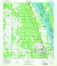
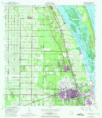
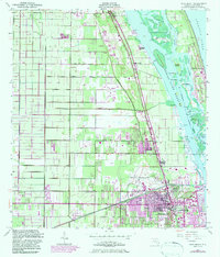
Editions of this 1949 Vero Beach Map
6 editions found
Other maps of this area

1948 · Riomar
USGS Topo · 1:24,000

1948 · Indrio
USGS Topo · 1:24,000

1949 · Fellsmere
USGS Topo · 1:24,000

1949 · Vero Beach
USGS Topo · 1:24,000

1949 · Sebastian
USGS Topo · 1:24,000

1949 · Oslo
USGS Topo · 1:24,000

1950 · Riomar
USGS Topo · 1:24,000

1950 · Oslo
USGS Topo · 1:24,000

1950 · Indrio
USGS Topo · 1:24,000

1950 · Vero Beach
USGS Topo · 1:24,000