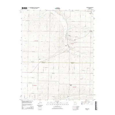
2015 Map of Verona
USGS Topo · Published 2015About this map
The Spring River winds through the heart of the Ozark plateau in this detailed survey of southwestern Missouri, centered on the historic town of Verona. This landscape is defined by its drainage systems, including the headwaters of Center Cr, Little Flat Cr, and Calton Cr. The settlement pattern reflects a mix of small community centers like Globe and the outskirts of Aurora, connected by a dense network of local routes such as Old Aurora Rd and Syntex Access Rd.
Find a feature on this map
67 named features on this map. Tap any name to fly to it.
Don’t see what you’re looking for? This feature index may not catch every label — zoom into the map to look around manually.
Map Details
Editions of this 2015 Verona Map
This is the sole edition of this map. No revisions or reprints were ever made.
Other maps of this area

1886 · Greenfield
USGS Topo · 1:125,000

1888 · Greenfield
USGS Topo · 1:125,000

1919 · Halltown
USGS Topo · 1:62,500

1921 · Stotts City
USGS Topo · 1:62,500

1942 · Aurora
USGS Topo · 1:62,500

1943 · Monett
USGS Topo · 1:62,500

1945 · Harrison
USGS Topo · 1:250,000

1945 · Aurora
USGS Topo · 1:62,500

1949 · Harrison
USGS Topo · 1:250,000

1954 · Harrison
USGS Topo · 1:250,000