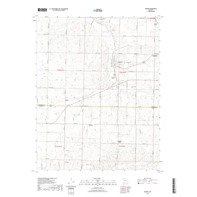
2017 Map of Verona
USGS Topo · Published 2017About this map
Verona sits at the heart of this Missouri landscape, where the headwaters of the Spring River begin their westward course. The settlement pattern follows the drainage of various creeks, including Hillhouse Br and Douger Br, which carve out local depressions like Browning Hollow. This modern-era survey shows the proximity of Aurora to the east and the small community of Globe along the county line to the west.
Find a feature on this map
46 named features on this map. Tap any name to fly to it.
Don’t see what you’re looking for? This feature index may not catch every label — zoom into the map to look around manually.
Map Details
Editions of this 2017 Verona Map
This is the sole edition of this map. No revisions or reprints were ever made.
Other maps of this area

1886 · Greenfield
USGS Topo · 1:125,000

1888 · Greenfield
USGS Topo · 1:125,000

1919 · Halltown
USGS Topo · 1:62,500

1921 · Stotts City
USGS Topo · 1:62,500

1942 · Aurora
USGS Topo · 1:62,500

1943 · Monett
USGS Topo · 1:62,500

1945 · Harrison
USGS Topo · 1:250,000

1945 · Aurora
USGS Topo · 1:62,500

1949 · Harrison
USGS Topo · 1:250,000

1954 · Harrison
USGS Topo · 1:250,000