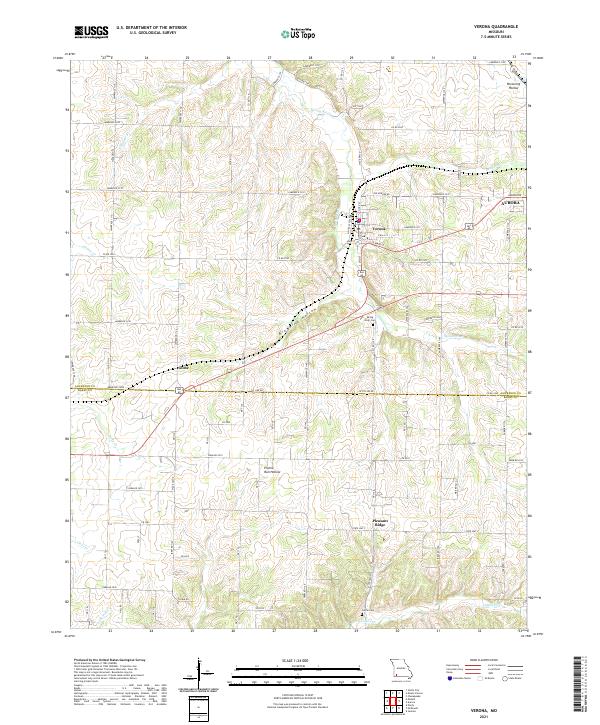
2021 Map of Verona
USGS Topo · Published 2021About this map
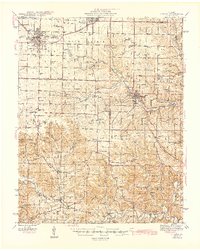
The Spring River winds through the heart of the Ozarks landscape, anchoring the settlement of Verona at its junction with Hillhouse Br. This area represents a transition from the agricultural plateaus to the north and the creek-cut topography that defines the border between Lawrence and Barry counties. The town of Verona is plotted in detail, showing a clear grid including Main St and E Ella St, while the western edge of Aurora appears at the eastern margin. To the southwest, the community of Globe sits along the county line, while Pleasant Ridge occupies a prominent rise further south.
Find a feature on this map
53 named features on this map. Tap any name to fly to it.
Don’t see what you’re looking for? This feature index may not catch every label — zoom into the map to look around manually.
Map Details
Editions of this 2021 Verona Map
This is the sole edition of this map. No revisions or reprints were ever made.
Other maps of this area

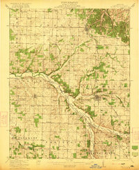
1886 · Greenfield
USGS Topo · 1:125,000

1888 · Greenfield
USGS Topo · 1:125,000

1919 · Halltown
USGS Topo · 1:62,500
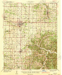
1921 · Stotts City
USGS Topo · 1:62,500
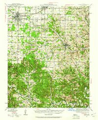
1942 · Aurora
USGS Topo · 1:62,500
1943 · Monett
USGS Topo · 1:62,500

1945 · Harrison
USGS Topo · 1:250,000
1945 · Aurora
USGS Topo · 1:62,500

1949 · Harrison
USGS Topo · 1:250,000

1954 · Harrison
USGS Topo · 1:250,000