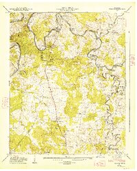
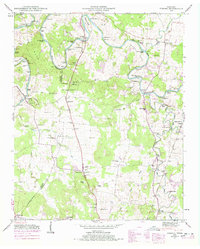
1947 Map of Verona
USGS Topo · Published 1948About this map
The Duck River winds through the heart of this landscape, its tight oxbows creating a succession of named points and islands like Sowell Bend, Cheek Bend, and Cundiff Island. This 1947 field examination reveals a rural economy centered on the river and the Louisville and Nashville railroad, which bisects the eastern terrain near Verona. The importance of water power and local industry is evident at Lillard Mill and Hardison Mill, while the region's social fabric is anchored by numerous small community centers such as Berlin and Milltown.
Find a feature on this map
75 named features on this map. Tap any name to fly to it.
Don’t see what you’re looking for? This feature index may not catch every label — zoom into the map to look around manually.
Map Details
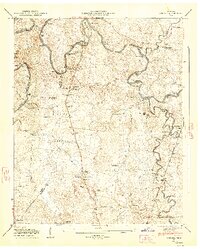
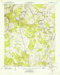
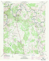
Editions of this 1947 Verona Map
6 editions found
Other maps of this area

1936 · Chapel Hill
USGS Topo · 1:24,000

1936 · Farmington
USGS Topo · 1:24,000

1936 · Belfast
USGS Topo · 1:24,000

1936 · Lewisburg
USGS Topo · 1:24,000

1936 · Verona
USGS Topo · 1:24,000

1936 · Campbells Station
USGS Topo · 1:24,000

1936 · Rally Hill
USGS Topo · 1:24,000

1936 · Carters Creek
USGS Topo · 1:24,000

1936 · Glendale
USGS Topo · 1:24,000

1941 · Carters Creek
USGS Topo · 1:24,000