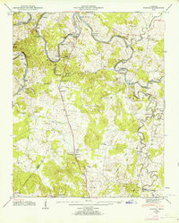
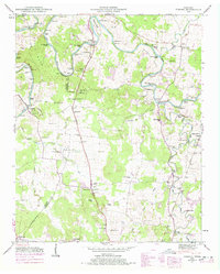
1947 Map of Verona
USGS Topo · Published 1964About this map
The Duck River winds through a landscape of river bends and islands along the border of Maury and Marshall Counties. This 1947 survey captures a predominantly agricultural region defined by its water crossings and milling history, featuring Lillard Mill and Hardison Mill. The serpentine path of the river is punctuated by named islands such as Slick Shoals Island and Cundiff Ford Island, highlighting the importance of the river corridor before modern infrastructure altered local transport.
Find a feature on this map
78 named features on this map. Tap any name to fly to it.
Don’t see what you’re looking for? This feature index may not catch every label — zoom into the map to look around manually.
Map Details
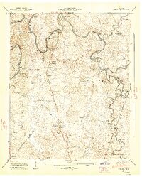
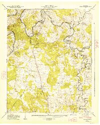
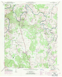
Editions of this 1947 Verona Map
6 editions found
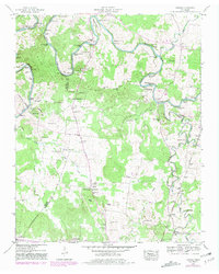
Other maps of this area

1936 · Chapel Hill
USGS Topo · 1:24,000

1936 · Farmington
USGS Topo · 1:24,000

1936 · Belfast
USGS Topo · 1:24,000

1936 · Lewisburg
USGS Topo · 1:24,000

1936 · Verona
USGS Topo · 1:24,000

1936 · Campbells Station
USGS Topo · 1:24,000

1936 · Rally Hill
USGS Topo · 1:24,000

1936 · Carters Creek
USGS Topo · 1:24,000

1936 · Glendale
USGS Topo · 1:24,000

1941 · Carters Creek
USGS Topo · 1:24,000