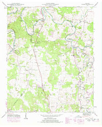
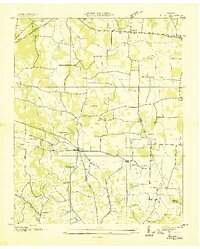
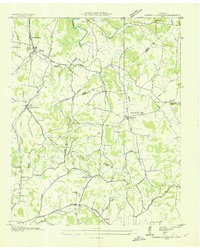
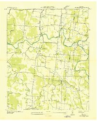
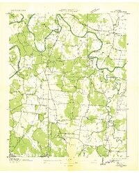
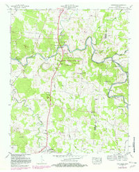
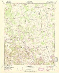
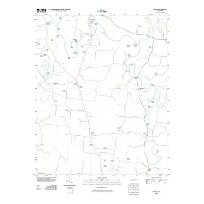
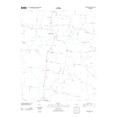
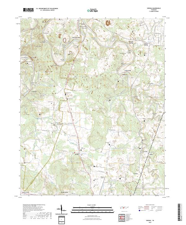
1947 Map of Verona
USGS Topo · Published 1978About this map
Duck River meanders across the northern portion of this landscape, its path marked by Numerous islands such as Tates Island and Cundiff Ford Island. The river once powered local industry, as evidenced by the namesake Hardison Mill and Lillard Mill. Further south, the terrain transitions into the valleys of Big Rock Creek and East Fork Rock Creek. This region of Maury and Marshall Counties was characterized by a dense network of family-held lands and small rural communities in the late 1940s.
Find a feature on this map
75 named features on this map. Tap any name to fly to it.
Don’t see what you’re looking for? This feature index may not catch every label — zoom into the map to look around manually.
Map Details
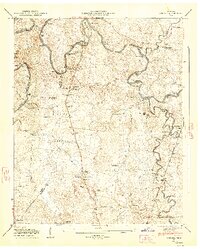
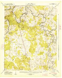
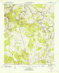
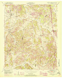
Editions of this 1947 Verona Map
6 editions found

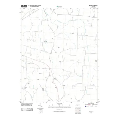
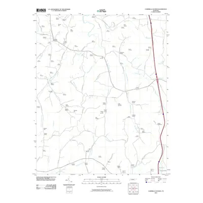
Historical Maps of Hardison Mill Through Time
30 maps found
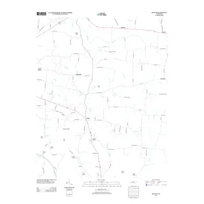
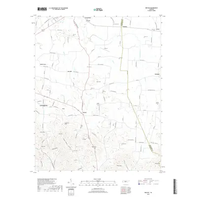
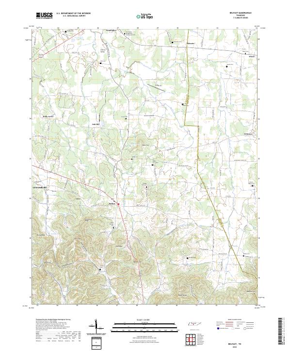
1936 Belfast
Marshall County, TN
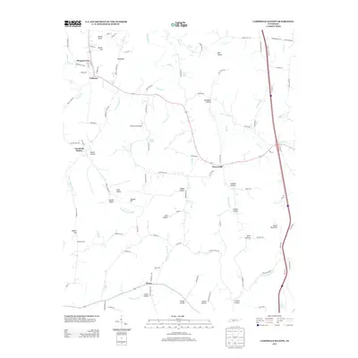
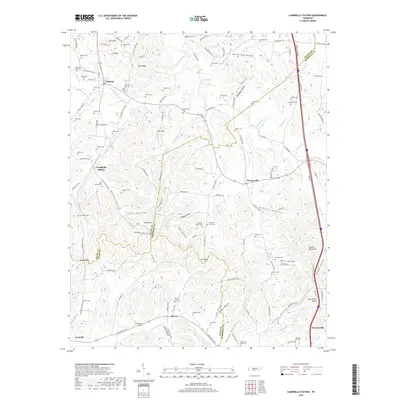
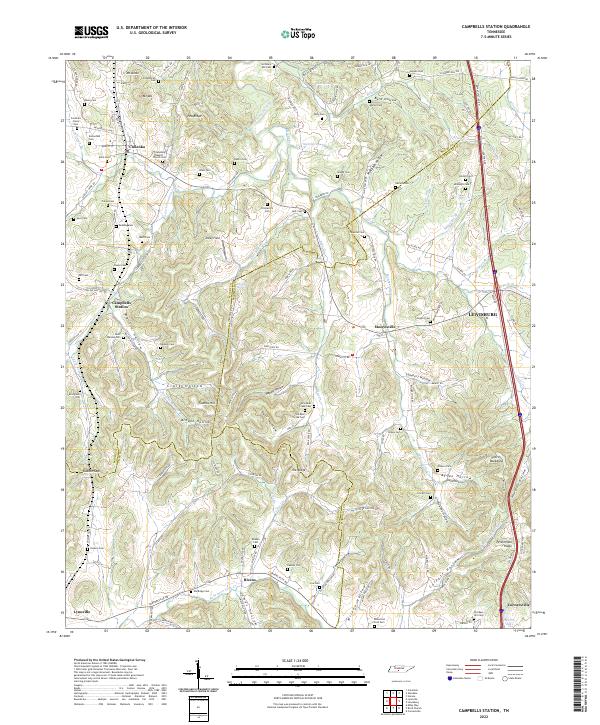
1936 Campbells Station
Marshall County, TN
1936 Farmington
Marshall County, TN
1936 Verona
Marshall County, TN
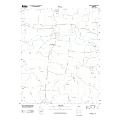
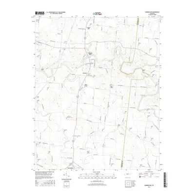
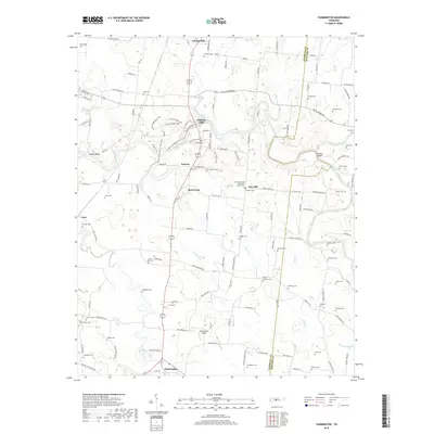
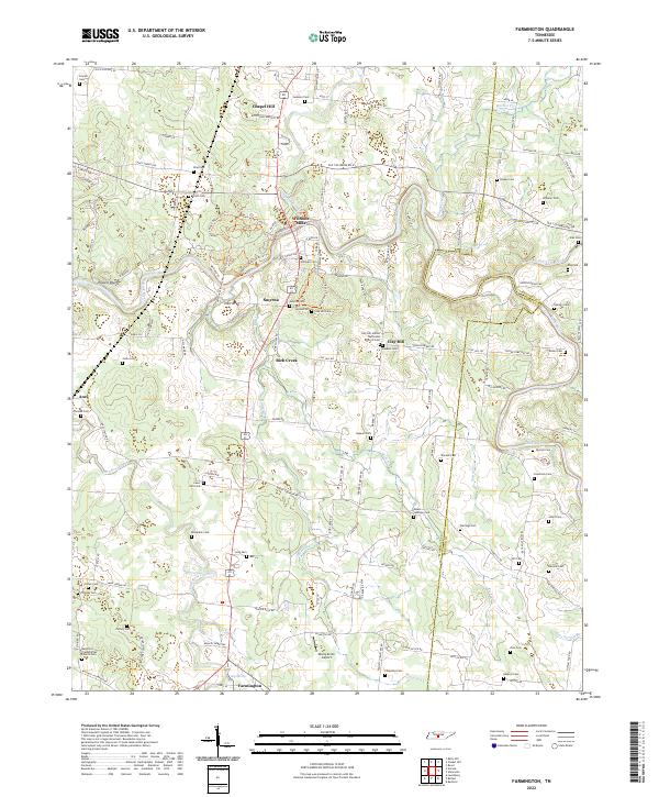
1947 Farmington
Marshall County, TN
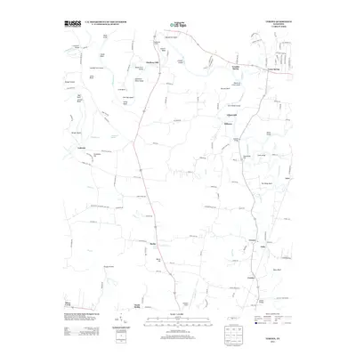
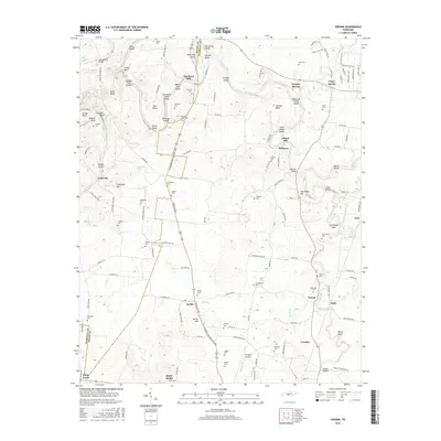
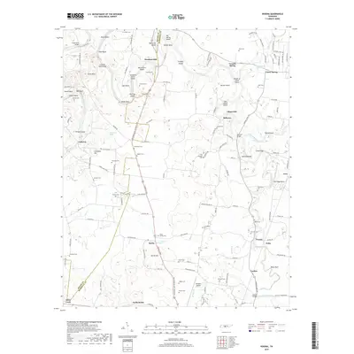
1947 Verona
Marshall County, TN
1949 Belfast
Marshall County, TN
1949 Campbells Station
Marshall County, TN
1951 Belfast
Marshall County, TN
1951 Campbells Station
Marshall County, TN
2010 Belfast
Marshall County, TN
2010 Campbells Station
Marshall County, TN
2010 Farmington
Marshall County, TN
2010 Verona
Marshall County, TN
2013 Belfast
Marshall County, TN
2013 Campbells Station
Marshall County, TN
2013 Farmington
Marshall County, TN
2013 Verona
Marshall County, TN
2016 Belfast
Marshall County, TN
2016 Campbells Station
Marshall County, TN
2016 Farmington
Marshall County, TN
2016 Verona
Marshall County, TN
2019 Belfast
Marshall County, TN
2019 Campbells Station
Marshall County, TN
2019 Farmington
Marshall County, TN
2019 Verona
Marshall County, TN
2022 Belfast
Marshall County, TN
2022 Campbells Station
Marshall County, TN
2022 Farmington
Marshall County, TN
2022 Verona
Marshall County, TN