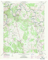
1947 Map of Verona
USGS Topo · Published 1971About this map
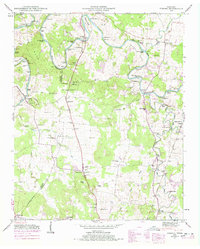
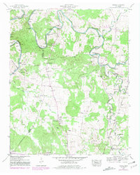
The Duck River winds through the heart of Marshall and Maury Counties, its path defined by numerous named features such as Jackson Bend and Bull Bluff. This mid-century landscape is characterized by a high density of family cemeteries and rural congregations, including Bethlehem Ch and Antioch Ch. The river's industrial legacy is evident at Lillard Mill and Hardison Mill, while the Louisville and Nashville railroad connects the small settlements of Verona, Berlin, and South Berlin. This survey reveals a transition from traditional water-powered milling toward more modern infrastructure, like the Lewisburg Pumping Sta near the East Fork Big Rock Creek. Notable landmarks such as Carpenters Bridge School and the distinctively named Sanctified Hill anchor these small communities during a period of relative agricultural stability.
Find a feature on this map
79 named features on this map. Tap any name to fly to it.
Don’t see what you’re looking for? This feature index may not catch every label — zoom into the map to look around manually.
Map Details
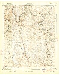
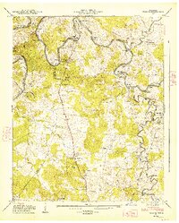
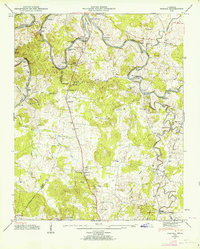
Editions of this 1947 Verona Map
6 editions found
Other maps of this area

1936 · Chapel Hill
USGS Topo · 1:24,000

1936 · Farmington
USGS Topo · 1:24,000

1936 · Belfast
USGS Topo · 1:24,000

1936 · Lewisburg
USGS Topo · 1:24,000

1936 · Verona
USGS Topo · 1:24,000

1936 · Campbells Station
USGS Topo · 1:24,000

1936 · Rally Hill
USGS Topo · 1:24,000

1936 · Carters Creek
USGS Topo · 1:24,000

1936 · Glendale
USGS Topo · 1:24,000

1941 · Carters Creek
USGS Topo · 1:24,000