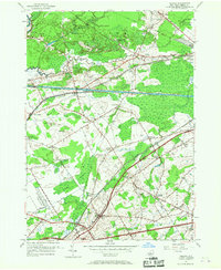
1955 Map of Verona
USGS Topo · Published 1967About this map
The Rome Sand Plains dominate the northern landscape of this Oneida County region, where the New York Central railroad and the historic Erie Canal cut parallel paths across the terrain. This mid-century survey documents a dense network of crossroads settlements and family-named landmarks, such as Seifert Corners, Stooks Corners, and Hatchs Corners, which reflect the area's deep-rooted agricultural and rural heritage. Significant religious and community centers like St Peters and the Sand Plains Chapel serve as anchor points for the surrounding hamlets of New London and Verona Mills.
Find a feature on this map
48 named features on this map. Tap any name to fly to it.
Don’t see what you’re looking for? This feature index may not catch every label — zoom into the map to look around manually.
Map Details
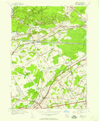
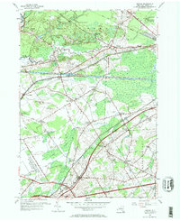
Editions of this 1955 Verona Map
3 editions found
Other maps of this area

1895 · Oriskany
USGS Topo · 1:62,500

1895 · Oneida
USGS Topo · 1:62,500

1898 · Oneida
USGS Topo · 1:62,500

1898 · Oriskany
USGS Topo · 1:62,500

1902 · Oneida
USGS Topo · 1:62,500

1904 · Boonville
USGS Topo · 1:62,500

1905 · Taberg
USGS Topo · 1:62,500

1939 · Oneida
USGS Topo · 1:62,500

1943 · Camden East
USGS Topo · 1:31,680

1943 · Lee Center
USGS Topo · 1:31,680