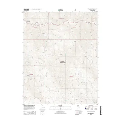
2015 Map of Verplank Ridge
USGS Topo · Published 2015About this map
Sequoia National Forest and Sierra National Forest meet in this high-altitude landscape of the Sierra Nevada. The terrain is defined by a series of prominent ridges and canyons, most notably Verplank Ridge and the deep cut of Fox Canyon. These features dictated the early settlement patterns and seasonal routes through the area, with small clearings like Mill Flat and Davis Flat serving as anchor points in an otherwise steep environment.
Find a feature on this map
31 named features on this map. Tap any name to fly to it.
Don’t see what you’re looking for? This feature index may not catch every label — zoom into the map to look around manually.
Map Details
Editions of this 2015 Verplank Ridge Map
This is the sole edition of this map. No revisions or reprints were ever made.
Other maps of this area

1903 · Tehipite
USGS Topo · 1:125,000

1905 · Tehipite
USGS Topo · 1:125,000

1922 · Trimmer
USGS Topo · 1:96,000

1924 · Dinuba
USGS Topo · 1:125,000

1942 · Dunlap
USGS Topo · 1:62,500

1944 · Dunlap
USGS Topo · 1:62,500

1948 · Fresno
USGS Topo · 1:250,000

1952 · Tehipite Dome
USGS Topo · 1:62,500

1952 · Patterson Mountain
USGS Topo · 1:62,500

1955 · Fresno
USGS Topo · 1:250,000