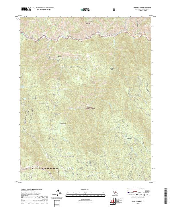
2021 Map of Verplank Ridge
USGS Topo · Published 2021About this map
Kings River carves through the northern reaches of this territory, marking a sharp boundary between the Sierra National Forest and the Sequoia National Forest. The landscape is characterized by a series of high ridges and secluded flats that historically supported seasonal grazing and logging activities. The presence of Mill Flat, Sampson Flat, and Davis Flat suggests the importance of these level clearings within the steep terrain of Verplank Ridge and McKenzie Ridge.
Find a feature on this map
35 named features on this map. Tap any name to fly to it.
Don’t see what you’re looking for? This feature index may not catch every label — zoom into the map to look around manually.
Map Details
Editions of this 2021 Verplank Ridge Map
This is the sole edition of this map. No revisions or reprints were ever made.
Other maps of this area

1903 · Tehipite
USGS Topo · 1:125,000

1905 · Tehipite
USGS Topo · 1:125,000

1922 · Trimmer
USGS Topo · 1:96,000

1924 · Dinuba
USGS Topo · 1:125,000

1942 · Dunlap
USGS Topo · 1:62,500

1944 · Dunlap
USGS Topo · 1:62,500

1948 · Fresno
USGS Topo · 1:250,000

1952 · Tehipite Dome
USGS Topo · 1:62,500

1952 · Patterson Mountain
USGS Topo · 1:62,500

1955 · Fresno
USGS Topo · 1:250,000