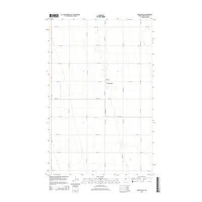
2014 Map of Veseleyville
USGS Topo · Published 2014About this map
Veseleyville serves as the central point of this Walsh County landscape, where the agricultural grid of Northeast North Dakota is defined by a precise network of section-line roads. This survey captures the rural character of the region, anchored by the Saint Lukes Cem, which stands as a significant landmark for genealogists and local historians tracking early settlement patterns. The terrain is navigated via major routes like Nd-18, while a web of local thoroughfares such as 63rd St NE and 142nd Ave NE facilitate movement across the prairie. The map's layout highlights the enduring structure of the Great Plains' township and range system, where small community hubs remained essential focal points for the surrounding farming families.
Find a feature on this map
19 named features on this map. Tap any name to fly to it.
Don’t see what you’re looking for? This feature index may not catch every label — zoom into the map to look around manually.
Map Details
Editions of this 2014 Veseleyville Map
This is the sole edition of this map. No revisions or reprints were ever made.
Other maps of this area

1926 · Ardoch
USGS Topo · 1:62,500

1943 · Grafton
USGS Topo · 1:62,500

1952 · Thief River Falls
USGS Topo · 1:250,000

1956 · Thief River Falls
USGS Topo · 1:250,000

1957 · Thief River Falls
USGS Topo · 1:250,000

1960 · Grafton
USGS Topo · 1:24,000

1963 · Inkster NE
USGS Topo · 1:24,000

1963 · Pisek
USGS Topo · 1:24,000

1963 · Veseleyville
USGS Topo · 1:24,000

1963 · Nash
USGS Topo · 1:24,000