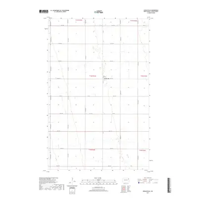
2017 Map of Veseleyville
USGS Topo · Published 2017About this map
Veseleyville remains the central focal point of this Walsh County landscape, situated at the intersection of Co Rd 8 and 63rd St NE. This region of North Dakota is characterized by a precise grid of section lines and agricultural roads, reflecting the systematic land division of the Public Land Survey System. The small community is anchored by Saint Lukes Cem, providing a significant touchstone for genealogical research in the township. The surrounding terrain is primarily defined by its drainage patterns and the network of local routes like Co Rd 15 and Prairie Trl that connect the dispersed farmsteads. This survey captures the steady, rural character of the Red River Valley region, where the placement of cemeteries and small settlements often traces the history of early immigrant pioneers and parish life.
Find a feature on this map
27 named features on this map. Tap any name to fly to it.
Don’t see what you’re looking for? This feature index may not catch every label — zoom into the map to look around manually.
Map Details
Editions of this 2017 Veseleyville Map
This is the sole edition of this map. No revisions or reprints were ever made.
Other maps of this area

1926 · Ardoch
USGS Topo · 1:62,500

1943 · Grafton
USGS Topo · 1:62,500

1952 · Thief River Falls
USGS Topo · 1:250,000

1956 · Thief River Falls
USGS Topo · 1:250,000

1957 · Thief River Falls
USGS Topo · 1:250,000

1960 · Grafton
USGS Topo · 1:24,000

1963 · Inkster NE
USGS Topo · 1:24,000

1963 · Pisek
USGS Topo · 1:24,000

1963 · Veseleyville
USGS Topo · 1:24,000

1963 · Nash
USGS Topo · 1:24,000