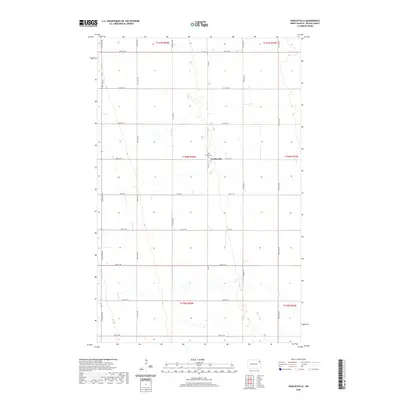
2020 Map of Veseleyville
USGS Topo · Published 2020About this map
Veseleyville serves as the focal point for this agrarian landscape in Walsh County, where the grid of the Public Land Survey System dictates the rhythm of the terrain. The presence of Saint Lukes Cem near the center of the settlement points to the deep-rooted community history of this North Dakota prairie. The map reveals a strictly organized network of section-line roads, including Co Rd 8 and Co Rd 15, which facilitate transport across the expansive farmland. Towards the southeast, Prairie Trl breaks the rigid cardinal grid, hinting at the subtle drainage patterns and natural contours that underlie the productive agricultural fields. This survey reflects the enduring structure of the Red River Valley’s rural economy, where small hamlets like Veseleyville continue to anchor the surrounding townships.
Find a feature on this map
26 named features on this map. Tap any name to fly to it.
Don’t see what you’re looking for? This feature index may not catch every label — zoom into the map to look around manually.
Map Details
Editions of this 2020 Veseleyville Map
This is the sole edition of this map. No revisions or reprints were ever made.
Other maps of this area

1926 · Ardoch
USGS Topo · 1:62,500

1943 · Grafton
USGS Topo · 1:62,500

1952 · Thief River Falls
USGS Topo · 1:250,000

1956 · Thief River Falls
USGS Topo · 1:250,000

1957 · Thief River Falls
USGS Topo · 1:250,000

1960 · Grafton
USGS Topo · 1:24,000

1963 · Inkster NE
USGS Topo · 1:24,000

1963 · Pisek
USGS Topo · 1:24,000

1963 · Veseleyville
USGS Topo · 1:24,000

1963 · Nash
USGS Topo · 1:24,000