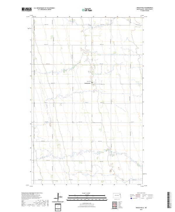
2024 Map of Veseleyville
USGS Topo · Published 2024About this map
Veseleyville serves as the focal point of this agricultural landscape in Walsh County, characterized by the rigid geometry of the Public Land Survey System. The settlement's history is anchored by Saint Lukes Cem, a primary site for genealogical research in this rural corridor. The terrain is defined by a dense network of section-line roads, including Co Rd 8 and Co Rd 15, which facilitate the movement of grain and machinery between townships like t156n r54w and t156n r53w. While much of the area is dedicated to large-scale farming, the inclusion of Prairie Trl suggests preserved remnants of the original landscape. This survey documents the persistent rural character of the Red River Valley, where land use and local identity remain tied to the township and range grid established over a century ago.
Find a feature on this map
27 named features on this map. Tap any name to fly to it.
Don’t see what you’re looking for? This feature index may not catch every label — zoom into the map to look around manually.
Map Details
Editions of this 2024 Veseleyville Map
This is the sole edition of this map. No revisions or reprints were ever made.
Other maps of this area

1926 · Ardoch
USGS Topo · 1:62,500

1943 · Grafton
USGS Topo · 1:62,500

1952 · Thief River Falls
USGS Topo · 1:250,000

1956 · Thief River Falls
USGS Topo · 1:250,000

1957 · Thief River Falls
USGS Topo · 1:250,000

1960 · Grafton
USGS Topo · 1:24,000

1963 · Inkster NE
USGS Topo · 1:24,000

1963 · Pisek
USGS Topo · 1:24,000

1963 · Veseleyville
USGS Topo · 1:24,000

1963 · Nash
USGS Topo · 1:24,000