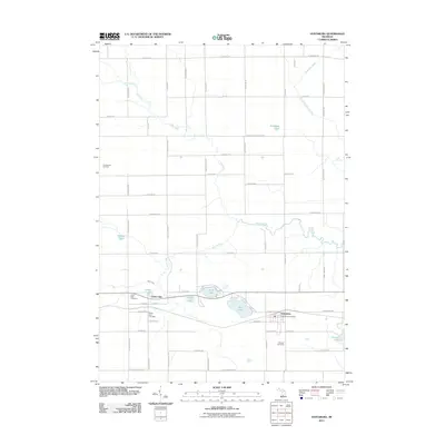
2011 Map of Vestaburg
USGS Topo · Published 2011About this map
Vestaburg and Cedar Lake anchor this agricultural and lake-studded landscape in Montcalm County, Michigan. The area is defined by the winding course of the Pine River and its various tributaries, including Skunk Creek and Wolf Creek, which thread through a grid of rural section roads. The map illustrates a localized economy and community structure centered around small lakeside settlements and natural resource extraction, notably the Christenson Oil Field in the west and the numerous glacial lakes such as Rock Lake, Bass Lake, and Marl Lake.
Find a feature on this map
60 named features on this map. Tap any name to fly to it.
Don’t see what you’re looking for? This feature index may not catch every label — zoom into the map to look around manually.
Map Details
Editions of this 2011 Vestaburg Map
This is the sole edition of this map. No revisions or reprints were ever made.
Other maps of this area

1916 · Mount Pleasant
USGS Topo · 1:62,500

1919 · Mount Pleasant
USGS Topo · 1:62,500

1943 · Mount Pleasant
USGS Topo · 1:62,500

1954 · Midland
USGS Topo · 1:250,000

1958 · Midland
USGS Topo · 1:250,000

1959 · Midland
USGS Topo · 1:250,000

1964 · Edmore
USGS Topo · 1:24,000

1964 · Blanchard
USGS Topo · 1:24,000

1964 · Stanton
USGS Topo · 1:24,000

1965 · Vestaburg
USGS Topo · 1:24,000