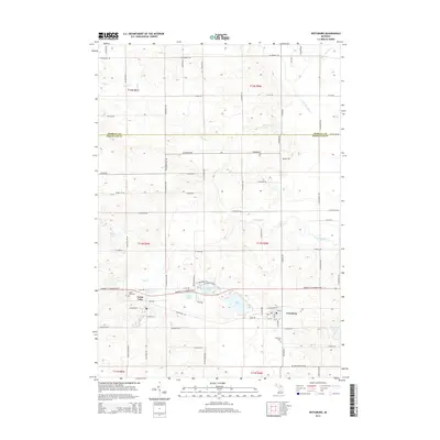
2014 Map of Vestaburg
USGS Topo · Published 2014About this map
Vestaburg and the surrounding township in northeastern Montcalm County appear here in a landscape defined by its glacial hydrology. The settlement of Cedar Lake sits in the west near its namesake water body, which is part of a dense cluster of lakes including Marl Lake, Rock Lake, and Bass Lake. This area, situated along the county line with Isabella County, is drained by the Pine River and its various tributaries like Skunk Cr and the N Br Pine River. The grid of country roads, such as Crystal Rd and N Vickeryville Rd, connects scattered farmsteads and rural landmarks. Genealogists will find the Richland Cem south of Vestaburg and the Cedar Lake Cem near the western lakeside community, providing primary location data for local family history research in this part of Michigan.
Find a feature on this map
76 named features on this map. Tap any name to fly to it.
Don’t see what you’re looking for? This feature index may not catch every label — zoom into the map to look around manually.
Map Details
Editions of this 2014 Vestaburg Map
This is the sole edition of this map. No revisions or reprints were ever made.
Other maps of this area

1916 · Mount Pleasant
USGS Topo · 1:62,500

1919 · Mount Pleasant
USGS Topo · 1:62,500

1943 · Mount Pleasant
USGS Topo · 1:62,500

1954 · Midland
USGS Topo · 1:250,000

1958 · Midland
USGS Topo · 1:250,000

1959 · Midland
USGS Topo · 1:250,000

1964 · Edmore
USGS Topo · 1:24,000

1964 · Blanchard
USGS Topo · 1:24,000

1964 · Stanton
USGS Topo · 1:24,000

1965 · Vestaburg
USGS Topo · 1:24,000