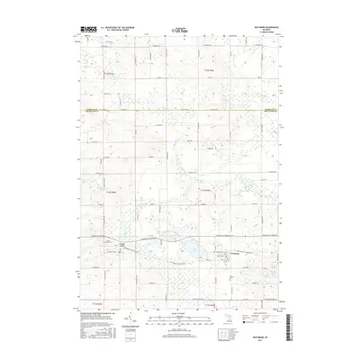
2017 Map of Vestaburg
USGS Topo · Published 2017About this map
The community of Vestaburg serves as a central hub in this portion of Montcalm County, where the transition from agricultural fields to lake-dotted woodlands is clearly defined. The landscape is marked by a high concentration of water bodies in the southern half, including Cedar Lake, Marl Lake, and Bass Lake, which are interconnected by various tributaries. This 2017 survey reflects the enduring rural character of the area, punctuated by historical burial grounds such as Cedar Lake Cem and Richland Cem.
Find a feature on this map
86 named features on this map. Tap any name to fly to it.
Don’t see what you’re looking for? This feature index may not catch every label — zoom into the map to look around manually.
Map Details
Editions of this 2017 Vestaburg Map
This is the sole edition of this map. No revisions or reprints were ever made.
Other maps of this area
1916 · Mount Pleasant
USGS Topo · 1:62,500
1919 · Mount Pleasant
USGS Topo · 1:62,500
1943 · Mount Pleasant
USGS Topo · 1:62,500

1954 · Midland
USGS Topo · 1:250,000

1958 · Midland
USGS Topo · 1:250,000

1959 · Midland
USGS Topo · 1:250,000
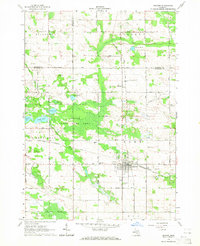
1964 · Edmore
USGS Topo · 1:24,000
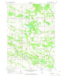
1964 · Blanchard
USGS Topo · 1:24,000
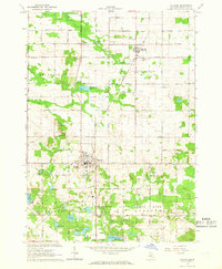
1964 · Stanton
USGS Topo · 1:24,000
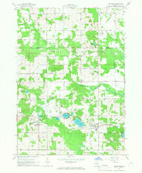
1965 · Vestaburg
USGS Topo · 1:24,000