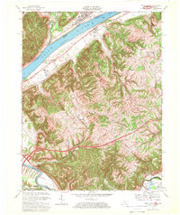
1967 Map of Vevay South
USGS Topo · Published 1969About this map
The Ohio River corridor serves as the central artery for this 1960s study, defining the boundary between Vevay and Ghent. While the river facilitates transport, the rugged interior of Carroll County is marked by a complex network of narrow valleys and ridges, including distinctive landmarks like Potato Bug Hill and the appropriately named Whiskey Hollow. The era's infrastructure is prominently displayed, featuring the Louisville and Nashville railroad winding through the southern landscape and the early presence of I-75 cutting through the terrain.
Find a feature on this map
35 named features on this map. Tap any name to fly to it.
Don’t see what you’re looking for? This feature index may not catch every label — zoom into the map to look around manually.
Map Details
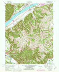
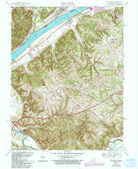
Editions of this 1967 Vevay South Map
3 editions found
Other maps of this area

1943 · Florence
USGS Topo · 1:24,000

1943 · Vevay North
USGS Topo · 1:24,000

1943 · Brooksburg
USGS Topo · 1:24,000

1943 · Vevay South
USGS Topo · 1:24,000

1950 · New Liberty
USGS Topo · 1:24,000

1951 · Florence
USGS Topo · 1:24,000

1951 · Sanders
USGS Topo · 1:24,000

1952 · Vevay South
USGS Topo · 1:24,000

1952 · Worthville
USGS Topo · 1:24,000

1952 · Campbellsburg
USGS Topo · 1:24,000