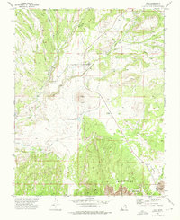
1972 Map of Veyo
USGS Topo · Published 1976About this map
The settlement of Veyo sits at a critical geological and hydrologic junction, where the Santa Clara River and Magotsu Creek meet amidst a landscape defined by volcanic activity. The distinct cone of the Veyo Volcano rises above the town, providing a source for local industry as evidenced by a nearby Cinder Pit. Water management is a dominant theme of this early 1970s landscape, with an extensive Aqueduct system and multiple storage sites including the Upper Sand Cove Reservoir and Lower Sand Cove Res.
Find a feature on this map
25 named features on this map. Tap any name to fly to it.
Don’t see what you’re looking for? This feature index may not catch every label — zoom into the map to look around manually.
Map Details
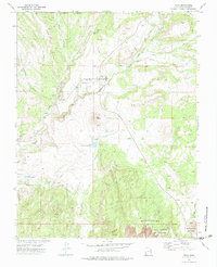
Editions of this 1972 Veyo Map
2 editions found
Other maps of this area

1885 · St. George
USGS Topo · 1:250,000

1891 · St. George
USGS Topo · 1:250,000

1953 · Cedar City
USGS Topo · 1:250,000

1954 · Beaver Dam Mts NE
USGS Topo · 1:24,000

1954 · Gunlock
USGS Topo · 1:24,000

1954 · St. George
USGS Topo · 1:62,500

1956 · St. George NW
USGS Topo · 1:24,000

1956 · St. George NE
USGS Topo · 1:24,000

1958 · Cedar City
USGS Topo · 1:250,000

1962 · Cedar City
USGS Topo · 1:250,000