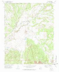
1972 Map of Veyo
USGS Topo · Published 1983About this map
Veyo sits at the junction of several distinct geological features, most notably the prominent Veyo Volcano and the surrounding basaltic terrain. The landscape is defined by the winding course of the Santa Clara River, which is supplemented by an extensive Aqueduct system feeding into the Upper Sand-Cove Reservoir and Lower Sand-Cove Res. These water management features, along with a Power Plant near the Falls, underscore the era's reliance on controlled irrigation and hydroelectric potential in this arid corner of Washington County. To the south and east, the transition from the high Long Ridge to the protected canyonlands is marked by the boundaries of Snow Canyon State Park and the Dixie National Forest. ThePresence of a Cinder Pit near the river suggests local extractive industry, while the broad Tobin Bench and Diamond Valley provide context for the local topography used by ranchers and early settlers.
Find a feature on this map
22 named features on this map. Tap any name to fly to it.
Don’t see what you’re looking for? This feature index may not catch every label — zoom into the map to look around manually.
Map Details
Editions of this 1972 Veyo Map
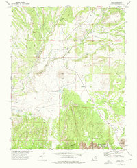
2 editions found
Other maps of this area

1885 · St. George
USGS Topo · 1:250,000

1891 · St. George
USGS Topo · 1:250,000

1953 · Cedar City
USGS Topo · 1:250,000

1954 · Beaver Dam Mts NE
USGS Topo · 1:24,000

1954 · Gunlock
USGS Topo · 1:24,000

1954 · St. George
USGS Topo · 1:62,500

1956 · St. George NW
USGS Topo · 1:24,000

1956 · St. George NE
USGS Topo · 1:24,000

1958 · Cedar City
USGS Topo · 1:250,000

1962 · Cedar City
USGS Topo · 1:250,000