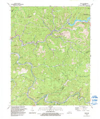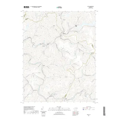
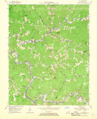
1954 Map of Vicco
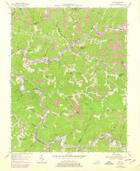
USGS Topo · Published 1989About this map
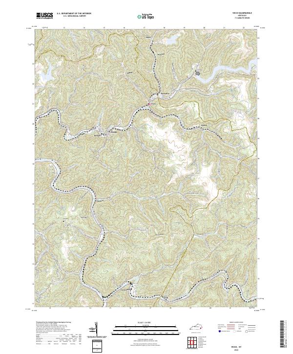
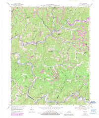
Carr Fork Lake dominates the upper reaches of this coal country landscape, where the waters of Carr Fork and the North Fork Kentucky River carve through the ridges of Knott, Perry, and Letcher Counties. The area's industrial identity is etched along the winding Louisville and Nashville railroad lines, which connect coal mining operations near Wiscoal and Allock to larger markets. Small mountain communities like Vicco, Happy, and Sassafras are dense with local landmarks, including the Open Door Childrens Home and numerous rural educational sites like Acup Sch and Dixie Sch.
Find a feature on this map
68 named features on this map. Tap any name to fly to it.
Don’t see what you’re looking for? This feature index may not catch every label — zoom into the map to look around manually.
Map Details
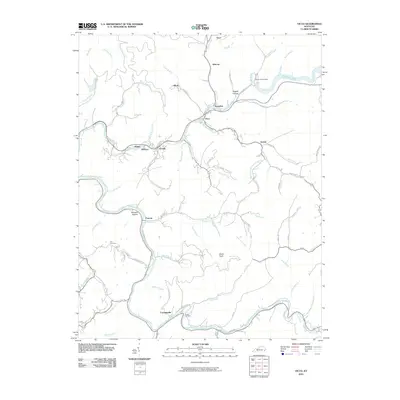
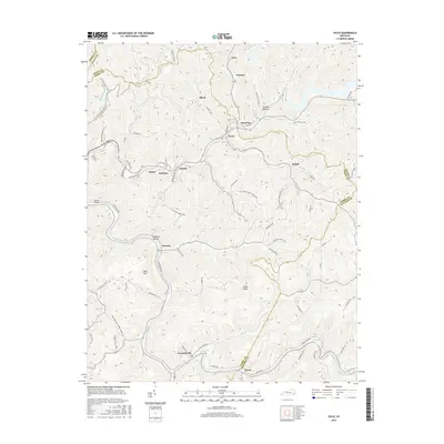
Editions of this 1954 Vicco Map
4 editions found
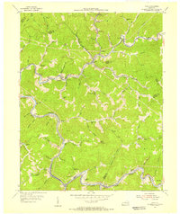
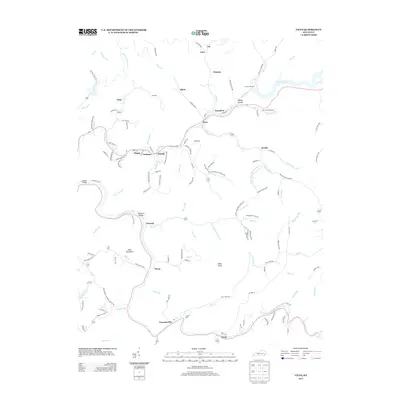
Historical Maps of Vicco Through Time
7 maps found