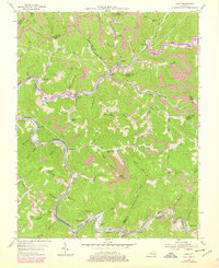
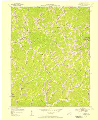
1954 Map of Vicco
USGS Topo · Published 1978About this map
Vicco and the surrounding coal-country settlements along the Louisville and Nashville railroad tracks define this 1950s landscape, later updated to reflect the rising waters of Carr Fork Lake. The geography is a dense network of hollows and ridges where the boundaries of Knott, Perry, and Letcher counties converge. Life in these valleys centered on a cluster of small communities and company towns such as Anco, Wiscoal, and Sassafras.
Find a feature on this map
68 named features on this map. Tap any name to fly to it.
Don’t see what you’re looking for? This feature index may not catch every label — zoom into the map to look around manually.
Map Details
Editions of this 1954 Vicco Map
4 editions found
Other maps of this area

1890 · Whitesburg
USGS Topo · 1:125,000

1891 · Hazard
USGS Topo · 1:125,000

1892 · Whitesburg
USGS Topo · 1:125,000

1912 · Hindman
USGS Topo · 1:48,000

1913 · Oven Fork
USGS Topo · 1:48,000

1914 · Troublesome
USGS Topo · 1:62,500

1915 · Hindman
USGS Topo · 1:62,500

1915 · Whitesburg
USGS Topo · 1:62,500

1916 · Cornettsville
USGS Topo · 1:62,500
1954 · Hindman
USGS Topo · 1:24,000