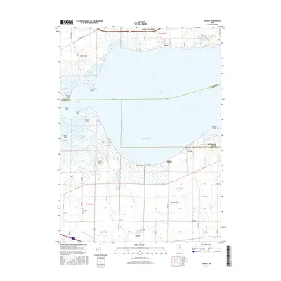
2016 Map of Vickery
USGS Topo · Published 2016About this map
Winous Point Marsh and the sprawling wetlands of the Pickerel Creek Wildlife Management Area define this coastal landscape where Ottawa, Erie, and Sandusky counties meet. The shoreline is a complex of points and islands, including Canvasback Point, Graveyard Island, and Squaw Island, reflecting a long history of water-managed geography along Sandusky Bay and Lake Erie.
Find a feature on this map
67 named features on this map. Tap any name to fly to it.
Don’t see what you’re looking for? This feature index may not catch every label — zoom into the map to look around manually.
Map Details
Editions of this 2016 Vickery Map
This is the sole edition of this map. No revisions or reprints were ever made.
Other maps of this area

1900 · Oak Harbor
USGS Topo · 1:62,500

1901 · Put-In-Bay
USGS Topo · 1:62,500

1901 · Bellevue
USGS Topo · 1:62,500

1901 · Fremont
USGS Topo · 1:62,500

1903 · Bellevue
USGS Topo · 1:62,500

1903 · Fremont
USGS Topo · 1:62,500

1903 · Put In Bay
USGS Topo · 1:62,500

1952 · Lacarne
USGS Topo · 1:24,000

1952 · Oak Harbor
USGS Topo · 1:62,500

1956 · Toledo
USGS Topo · 1:250,000