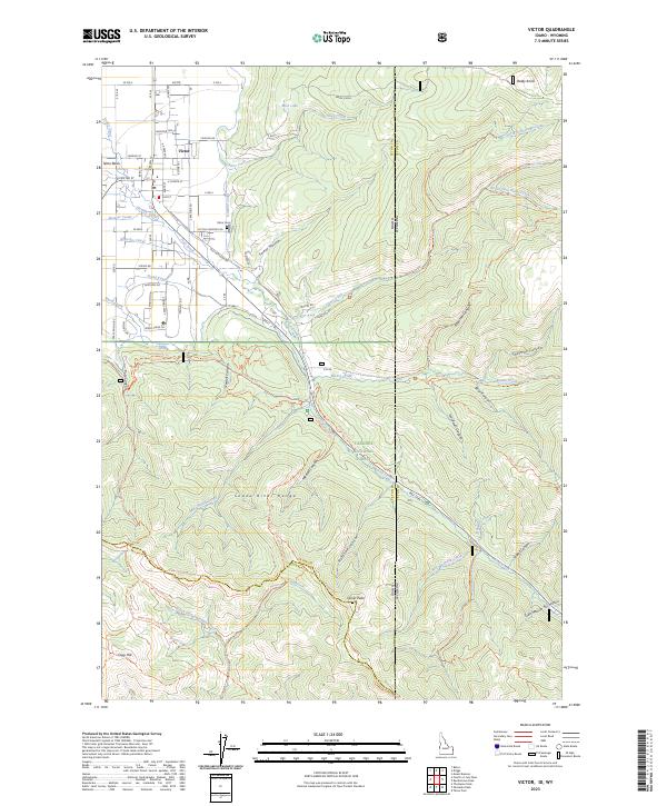
2023 Map of Victor
USGS Topo · Published 2023About this map
Victor stands as the primary settlement within the Teton Basin, serving as a gateway between the agricultural floor of the valley and the high peaks of the Snake River Range. The landscape is defined by an intricate network of irrigation systems, including the Spencer Canal, Kearsley Canal, String Canal, and Kimball Canal, which have supported the area's development. This 2023 survey illustrates the modern residential expansion of the town alongside long-established landmarks like the Victor Cemetery on Victor Cemetery Rd.
Find a feature on this map
101 named features on this map. Tap any name to fly to it.
Don’t see what you’re looking for? This feature index may not catch every label — zoom into the map to look around manually.
Map Details
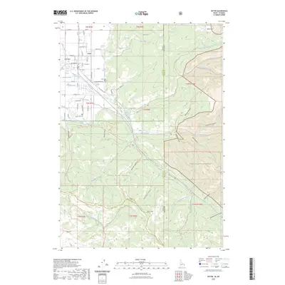
Editions of this 2023 Victor Map
2 editions found
Other maps of this area

1899 · Grand Teton
USGS Topo · 1:125,000

1901 · Grand Teton
USGS Topo · 1:125,000

1931 · Jackson
USGS Topo · 1:125,000

1932 · Irwin
USGS Topo · 1:96,000

1935 · Irwin
USGS Topo · 1:125,000

1935 · Jackson
USGS Topo · 1:125,000

1943 · Driggs
USGS Topo · 1:62,500

1946 · Driggs
USGS Topo · 1:62,500

1955 · Driggs
USGS Topo · 1:250,000

1958 · Driggs
USGS Topo · 1:250,000