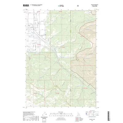
2023 Map of Victor
USGS Topo · Published 2023About this map
The high mountain valley of Victor serves as the focal point for this 2023 survey, situated where the Snake River Range meets the agricultural lands of the Teton Basin. The town's grid is defined by a complex irrigation network, including the Humble Canal, Spencer Canal, and Kimball Canal, which have supported the local ranching economy for generations. Beyond the town limits, the terrain rises sharply into the Targhee National Forest and the protected peaks of the Jedediah Smith Wilderness to the east.
Find a feature on this map
105 named features on this map. Tap any name to fly to it.
Don’t see what you’re looking for? This feature index may not catch every label — zoom into the map to look around manually.
Map Details
Editions of this 2023 Victor Map
2 editions found
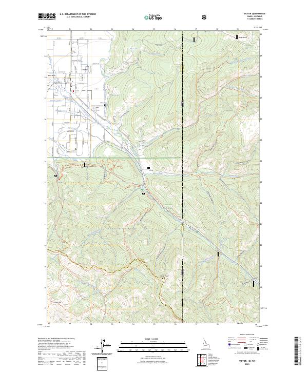
Other maps of this area

1899 · Grand Teton
USGS Topo · 1:125,000

1901 · Grand Teton
USGS Topo · 1:125,000

1931 · Jackson
USGS Topo · 1:125,000

1932 · Irwin
USGS Topo · 1:96,000

1935 · Irwin
USGS Topo · 1:125,000

1935 · Jackson
USGS Topo · 1:125,000

1943 · Driggs
USGS Topo · 1:62,500

1946 · Driggs
USGS Topo · 1:62,500

1955 · Driggs
USGS Topo · 1:250,000

1958 · Driggs
USGS Topo · 1:250,000