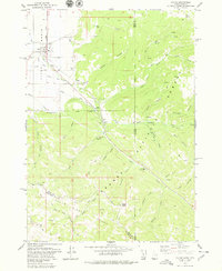
1978 Map of Victor
USGS Topo · Published 1979About this map
The town of Victor serves as the focal point of this late-1970s survey, situated where the Union Pacific railroad terminates in the southern Teton Basin. The map captures a moment when the community's agricultural footprint, defined by a network of canals, meets the rising slopes of the Teton Range. To the east and south, the Targhee National Forest dominates the landscape, carved by numerous drainages like Moose Creek and Sherman Creek. Local history is preserved in the location of the Victor Cem and the complex system of backcountry routes, including the Trail Creek Trail and various unnamed pack trails and jeep trails. High-altitude landmarks such as Oliver Peak and Baldy Knoll define the rugged eastern boundary where the Idaho Wyoming stateline runs through the mountains.
Find a feature on this map
53 named features on this map. Tap any name to fly to it.
Don’t see what you’re looking for? This feature index may not catch every label — zoom into the map to look around manually.
Map Details
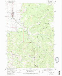
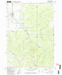
Editions of this 1978 Victor Map
3 editions found
Other maps of this area

1899 · Grand Teton
USGS Topo · 1:125,000

1901 · Grand Teton
USGS Topo · 1:125,000

1931 · Jackson
USGS Topo · 1:125,000

1932 · Irwin
USGS Topo · 1:96,000

1935 · Irwin
USGS Topo · 1:125,000

1935 · Jackson
USGS Topo · 1:125,000

1943 · Driggs
USGS Topo · 1:62,500

1946 · Driggs
USGS Topo · 1:62,500

1955 · Driggs
USGS Topo · 1:250,000

1958 · Driggs
USGS Topo · 1:250,000