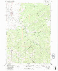
1978 Map of Victor
USGS Topo · Published 1979About this map
Victor serves as the central hub of this late-1970s Idaho landscape, positioned at the terminus of the Union Pacific rail line. The town's grid is surrounded by an intricate network of irrigation systems including the Kearsley Canal, Kimball Canal, and String Canal, which draw from the local watercourses to support the valley's agriculture. To the east and south, the terrain rises sharply into the Teton National Forest and the Targhee Range, where a series of canyons such as Plummer Canyon and Mikesell Canyon carve through the high country.
Find a feature on this map
47 named features on this map. Tap any name to fly to it.
Don’t see what you’re looking for? This feature index may not catch every label — zoom into the map to look around manually.
Map Details
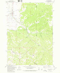
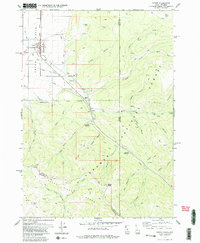
Editions of this 1978 Victor Map
3 editions found
Other maps of this area

1899 · Grand Teton
USGS Topo · 1:125,000

1901 · Grand Teton
USGS Topo · 1:125,000

1931 · Jackson
USGS Topo · 1:125,000

1932 · Irwin
USGS Topo · 1:96,000

1935 · Irwin
USGS Topo · 1:125,000

1935 · Jackson
USGS Topo · 1:125,000

1943 · Driggs
USGS Topo · 1:62,500

1946 · Driggs
USGS Topo · 1:62,500

1955 · Driggs
USGS Topo · 1:250,000

1958 · Driggs
USGS Topo · 1:250,000