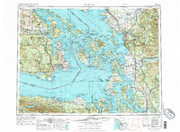
1957 Map of Victoria
USGS Topo · Published 1976About this map
The maritime border between Victoria and the Washington coast is defined by the sweeping waters of the Strait of Georgia and the Strait of Juan de Fuca. This mid-century survey captures the complex geography of the San Juan Islands and the northern Puget Sound just as the region’s post-war infrastructure was solidifying. From the British Columbia Parliament Buildings in the north to the industrial hubs of Bellingham and Everett, the map details a landscape transition from the high peaks of Olympic National Park to the critical naval installations on Whidbey Island.
Find a feature on this map
505 named features on this map. Tap any name to fly to it.
Don’t see what you’re looking for? This feature index may not catch every label — zoom into the map to look around manually.
Map Details
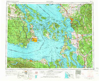
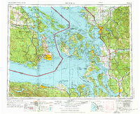
Editions of this 1957 Victoria Map
4 editions found

Other maps of this area

1895 · Snohomish
USGS Topo · 1:125,000

1897 · Seattle
USGS Topo · 1:125,000

1899 · Stillaguamish
USGS Topo · 1:125,000

1901 · Stilaguamish
USGS Topo · 1:125,000

1906 · Sumas
USGS Topo · 1:62,500

1907 · Blaine
USGS Topo · 1:62,500

1908 · Sumas
USGS Topo · 1:62,500

1909 · Mt Baker
USGS Topo · 1:192,000

1911 · Mount Vernon
USGS Topo · 1:125,000

1915 · Mt. Baker
USGS Topo · 1:250,000