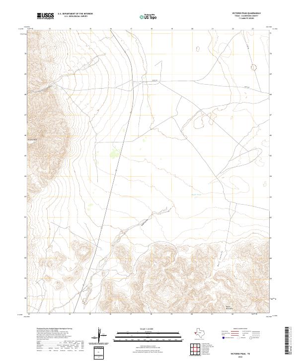
2022 Map of Victorio Peak
USGS Topo · Published 2022About this map
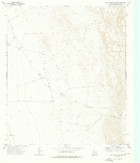
Victorio Peak dominates the western escarpment of this Trans-Pecos landscape, marking a sharp transition from the elevated western plateau down to the salt basin floor. The terrain is defined by the steep descent through Victorio Canyon and the southern rise of the Baylor Mountains. Water in this arid environment is ephemeral, noted at Baylor Pond and the drainage of Baylor Draw. Cattle ranching infrastructure and land use are evidenced by isolated routes like Wingo Rd and Z Flat Rd that cross the alluvial fans at the base of the mountains. This 2022 survey captures the modern topography of a sparsely populated region of Culberson County, where natural features like Bull Canyon remain the primary landmarks for navigation and land management.
Find a feature on this map
8 named features on this map. Tap any name to fly to it.
Don’t see what you’re looking for? This feature index may not catch every label — zoom into the map to look around manually.
Map Details
Editions of this 2022 Victorio Peak Map
This is the sole edition of this map. No revisions or reprints were ever made.
Other maps of this area

1906 · Van Horn
USGS Topo · 1:125,000

1954 · Van Horn
USGS Topo · 1:250,000

1958 · Van Horn
USGS Topo · 1:250,000

1964 · Watson Ranch
USGS Topo · 1:24,000
1964 · Sheep Peak
USGS Topo · 1:24,000
1964 · Nutt Ranch
USGS Topo · 1:24,000

1972 · Square Mesa
USGS Topo · 1:24,000
1973 · Victorio Peak
USGS Topo · 1:24,000

1973 · Apache Peak
USGS Topo · 1:24,000
1973 · Seven Heart Gap NW
USGS Topo · 1:24,000