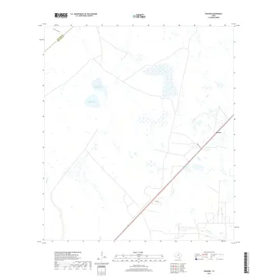
2019 Map of Vidaurri
USGS Topo · Published 2019About this map
The small settlement of Vidaurri serves as the focal point of this coastal prairie landscape in Refugio County. Situated along the junction of US Route 77 and Vidaurri Rd, the area is defined by a complex network of wetlands and ephemeral water bodies. Significant hydrologic features like North Saint Nicholas Lake and South Saint Nicholas Lake dominate the central terrain, while Copano Cr and Melon Cr drain the surrounding lowlands. The map reveals the precise boundary between Goliad and Refugio counties near Cottonwood Hollow, illustrating the rural land divisions and ranching corridors that have shaped this portion of South Texas. Local transit is marked by paths such as Hawk Rd, providing a detailed look at the infrastructure supporting this sparsely populated agricultural region.
Find a feature on this map
10 named features on this map. Tap any name to fly to it.
Don’t see what you’re looking for? This feature index may not catch every label — zoom into the map to look around manually.
Map Details
Editions of this 2019 Vidaurri Map
This is the sole edition of this map. No revisions or reprints were ever made.
Other maps of this area

1953 · Beeville
USGS Topo · 1:250,000

1954 · Vidaurri
USGS Topo · 1:62,500

1954 · Refugio
USGS Topo · 1:62,500

1956 · Beeville
USGS Topo · 1:250,000

1960 · Beeville
USGS Topo · 1:250,000

1962 · Live Oak Lake
USGS Topo · 1:24,000

1962 · Lott Lake
USGS Topo · 1:24,000

1962 · McFaddin
USGS Topo · 1:24,000

1978 · Ryanville
USGS Topo · 1:24,000

1978 · Vidaurri
USGS Topo · 1:24,000