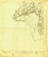
1926 Map of Vidor
USGS Topo · Published 1926About this map
The Neches River forms a winding western border for this coastal Texas landscape, defining the boundary between Jefferson and Orange counties. In this 1920s survey, the settlement of Vidor sits at the northern edge of the map, serving as a junction for major transportation arteries. The Texas and New Orleans and the Kansas City Southern railroads cross the terrain, illustrating the era's reliance on rail for moving timber and industrial goods through the Gulf Coast region.
Find a feature on this map
12 named features on this map. Tap any name to fly to it.
Don’t see what you’re looking for? This feature index may not catch every label — zoom into the map to look around manually.
Map Details
Editions of this 1926 Vidor Map
This is the sole edition of this map. No revisions or reprints were ever made.
Other maps of this area
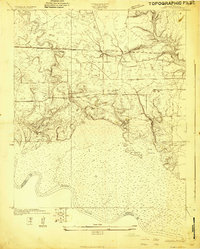
1926 · Terry
USGS Topo · 1:24,000
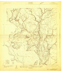
1926 · Lakeview
USGS Topo · 1:24,000
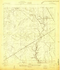
1926 · Texla
USGS Topo · 1:24,000
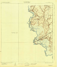
1932 · Beaumont
USGS Topo · 1:62,500
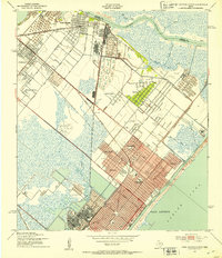
1943 · Port Arthur North
USGS Topo · 1:24,000
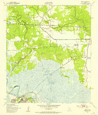
1943 · Terry
USGS Topo · 1:24,000
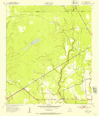
1943 · Texla
USGS Topo · 1:24,000
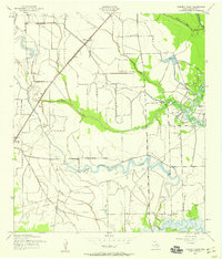
1943 · Fannett East
USGS Topo · 1:24,000
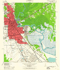
1943 · Beaumont East
USGS Topo · 1:24,000
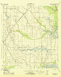
1945 · Fannett East
USGS Topo · 1:31,680