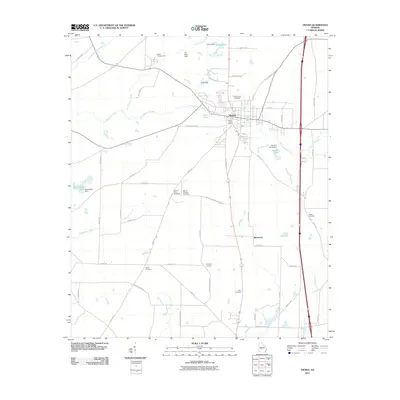
2011 Map of Vienna
USGS Topo · Published 2011About this map
Vienna serves as the central hub of this South Georgia landscape, where modern transportation corridors intersect with older rural landmarks. The town is flanked by a significant network of water features, most notably Pennahatchee Creek and Sandy Mount Creek, which define the drainage patterns of the surrounding agricultural land. To the north, the Dooly Campground sits near the headwaters of Little Pennahatchee Creek, indicating a site of long-standing community gathering.
Find a feature on this map
61 named features on this map. Tap any name to fly to it.
Don’t see what you’re looking for? This feature index may not catch every label — zoom into the map to look around manually.
Map Details
Editions of this 2011 Vienna Map
This is the sole edition of this map. No revisions or reprints were ever made.
Other maps of this area

1953 · Waycross
USGS Topo · 1:250,000

1957 · Macon
USGS Topo · 1:250,000

1958 · Macon
USGS Topo · 1:250,000

1958 · Waycross
USGS Topo · 1:250,000

1964 · Macon
USGS Topo · 1:250,000

1971 · Pineview NW
USGS Topo · 1:24,000

1971 · Pineview SW
USGS Topo · 1:24,000

1971 · Pinehurst
USGS Topo · 1:24,000

1972 · Byromville
USGS Topo · 1:24,000

1972 · Drayton
USGS Topo · 1:24,000