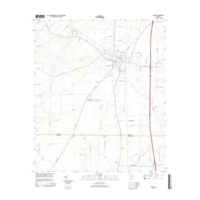
2014 Map of Vienna
USGS Topo · Published 2014About this map
Vienna serves as the focal point of this South Georgia landscape, where established street grids meet the winding paths of Pennahatchee Cr and Little Pennahatchee Cr. The map illustrates a rural economy transitioning into a modern transportation hub, centered around the junction of state routes like Ga-90 and Ga-27 alongside more traditional landmarks. To the south, the settlement of Richwood sits near the Dooly Co Crisp Co line, surrounded by a high density of local burial grounds and family landmarks.
Find a feature on this map
83 named features on this map. Tap any name to fly to it.
Don’t see what you’re looking for? This feature index may not catch every label — zoom into the map to look around manually.
Map Details
Editions of this 2014 Vienna Map
This is the sole edition of this map. No revisions or reprints were ever made.
Other maps of this area

1953 · Waycross
USGS Topo · 1:250,000

1957 · Macon
USGS Topo · 1:250,000

1958 · Macon
USGS Topo · 1:250,000

1958 · Waycross
USGS Topo · 1:250,000

1964 · Macon
USGS Topo · 1:250,000

1971 · Pineview NW
USGS Topo · 1:24,000

1971 · Pineview SW
USGS Topo · 1:24,000

1971 · Pinehurst
USGS Topo · 1:24,000

1972 · Byromville
USGS Topo · 1:24,000

1972 · Drayton
USGS Topo · 1:24,000